Nāḩiyat al Fuhūd night lights from space
Night Light of Nāḩiyat al Fuhūd (Dhi Qar) from space (Iraq) Src. Average luminocity for 10x10km area is 21.8223% and for 50x50km: 10.8715%.
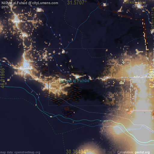
Analysis of Nāḩiyat al Fuhūd night lights 2016
Square area 10x10 km:
 1.47%
1.47%90-99
1.83%80-89
3.85%70-79
6.23%60-69
3.11%50-59
0.92%40-49
0.92%30-39
1.65%20-29
4.58%10-19
23.63%0-9
51.83%Square area 50x50 km:
0.5%90-99
0.73%80-89
1.22%70-79
2.32%60-69
3.37%50-59
1.48%40-49
1.51%30-39
1.85%20-29
3.11%10-19
6.33%0-9
77.56%Clear (daylight) street map image can be seen on geolist.org.
Map coordinates:
31° 34' 14.5" North, 46° 1' 10.8" East
30° 58' 11" North, 46° 43' 22" East
30° 21' 53.8" North, 47° 25' 33.3" East
Some cities around Nāḩiyat al Fuhūd sort by population:
• Basrah
113.3 km =70.4 mi,  116°
116°
• Al Başrah al Qadīmah
116.6 km =72.5 mi, 116°
• Nasiriyah
45.4 km =28.2 mi,  282°
282°
• Al ‘Amārah
104.3 km =64.8 mi,  22°
22°
• As Samawah
141.8 km =88.1 mi,  286°
286°
• Az Zubayr
113.5 km =70.5 mi, 124°
• Al Hārithah
108 km =67.1 mi,  113°
113°
• Ash Shaţrah
71.6 km =44.5 mi,  313°
313°
99439 (p: 21,551)
Sources (retrieved 2019-11-25):
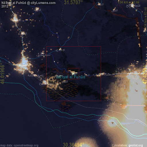
» Earth at Night: Flat Maps 2012, 2016