Nasiriyah night lights from space
Night Light of Nasiriyah (Dhi Qar) from space (Iraq) Src. Average luminocity for 10x10km area is 88.326% and for 50x50km: 20.8503%.
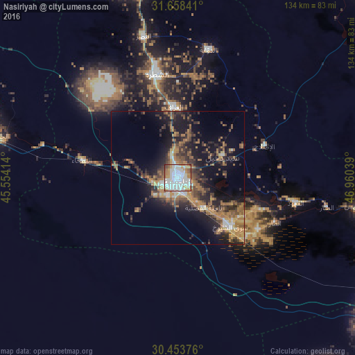
Analysis of Nasiriyah night lights 2016
Square area 10x10 km:
 40.48%
90-99
26.92%80-89
2.38%70-79
12.45%60-69
10.07%50-59
3.3%40-49
3.66%30-39
0.55%20-29
0.18%10-19
0%0-9
0%Square area 50x50 km:
2.56%90-99
2.29%80-89
1.04%70-79
3.49%60-69
5.3%50-59
3.53%40-49
3.48%30-39
4.19%20-29
6.08%10-19
13.05%0-9
54.99%Clear (daylight) street map image can be seen on geolist.org.
Map coordinates:
31° 39' 30.3" North, 45° 33' 14.9" East
31° 3' 28.8" North, 46° 15' 26.1" East
30° 27' 13.5" North, 46° 57' 37.4" East
Some cities around Nasiriyah sort by population:
• Al ‘Amārah
120.7 km =75 mi,  44°
44°
• As Samawah
96.5 km =60 mi,  288°
288°
• Al Hārithah
152.9 km =95 mi,  110°
110°
• Ash Shaţrah
39.9 km =24.8 mi,  348°
348°
• Al Ḩayy
125.8 km =78.2 mi, 350°
• Ar Rumaythah
112.9 km =70.2 mi,  297°
297°
• ‘Afak
147.2 km =91.5 mi,  319°
319°
• Nāḩiyat al Fuhūd
45.4 km =28.2 mi,  102°
102°
98854 (p: 400,249)
Sources (retrieved 2019-11-25):
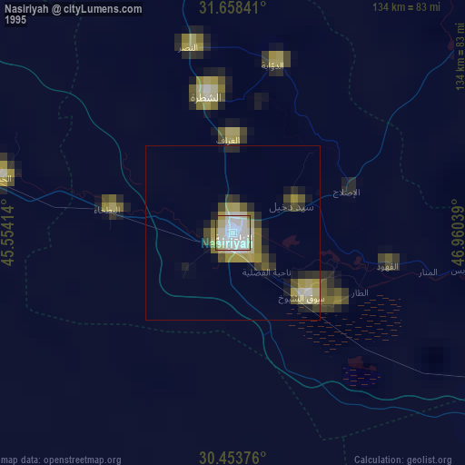
» NASA, Earths city lights 1995
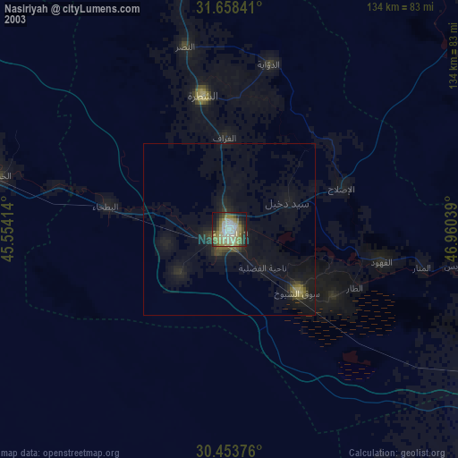
» NASA city lights 2003
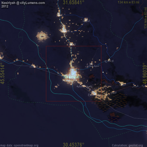
» Earth at Night: Flat Maps 2012, 2016