‘Aqrah night lights from space
Night Light of ‘Aqrah (Nineveh) from space (Iraq) Src. Average luminocity for 10x10km area is 24.715% and for 50x50km: 2.9021%.
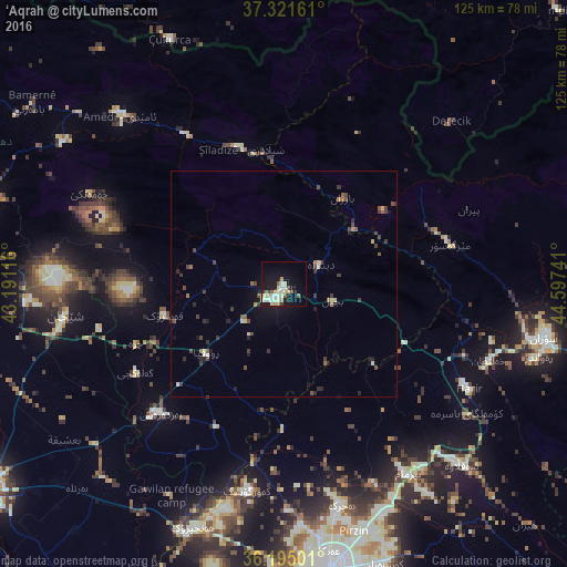
Analysis of ‘Aqrah night lights 2016
Square area 10x10 km:
 2.27%
2.27%90-99
5.77%80-89
7.34%70-79
1.92%60-69
1.75%50-59
3.32%40-49
1.4%30-39
1.4%20-29
0.35%10-19
22.03%0-9
52.45%Square area 50x50 km:
0.1%90-99
0.49%80-89
0.44%70-79
0.1%60-69
0.27%50-59
0.48%40-49
0.7%30-39
0.73%20-29
0.48%10-19
1.78%0-9
94.43%Clear (daylight) street map image can be seen on geolist.org.
Map coordinates:
37° 19' 17.8" North, 43° 11' 28.2" East
36° 45' 37.4" North, 43° 53' 39.4" East
36° 11' 42" North, 44° 35' 50.7" East
Some cities around ‘Aqrah sort by population:
• Erbil
65 km =40.4 mi,  170°
170°
• Dihok
81.5 km =50.6 mi,  278°
278°
• Sīnah
76.3 km =47.4 mi,  274°
274°
• Soran
59.1 km =36.7 mi,  101°
101°
• Al-Hamdaniya
71.4 km =44.4 mi,  220°
220°
• Tallkayf
75.2 km =46.7 mi,  246°
246°
• Ṟuwandiz
58.5 km =36.4 mi,  106°
106°
• Çukurca, TR
59.7 km =37.1 mi,  335°
335°
98822 (p: 23,000)
Sources (retrieved 2019-11-25):
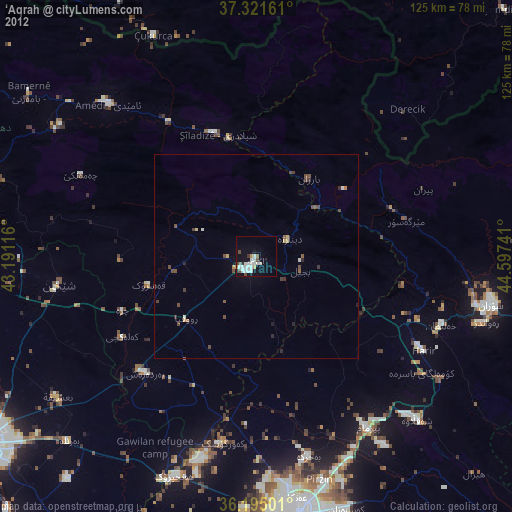
» Earth at Night: Flat Maps 2012, 2016