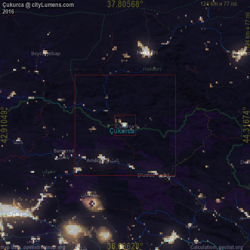
Çukurca night lights from space
Night Light of Çukurca (Hakkâri) from space (Turkey) Src. Average luminocity for 10x10km area is 7.9847% and for 50x50km: 1.9513%.
Analysis of Çukurca night lights 2016
Square area 10x10 km:
 0.51%
0.51%90-99
2.04%80-89
0.85%70-79
0.68%60-69
0.34%50-59
1.02%40-49
1.36%30-39
3.06%20-29
1.36%10-19
0.68%0-9
88.1%Square area 50x50 km:
0.07%90-99
0.38%80-89
0.4%70-79
0.16%60-69
0.24%50-59
0.15%40-49
0.38%30-39
0.47%20-29
0.35%10-19
0.28%0-9
97.13%Clear (daylight) street map image can be seen on geolist.org.
Map coordinates:
37° 48' 20.4" North, 42° 54' 37.8" East
37° 14' 53" North, 43° 36' 49" East
36° 41' 10.6" North, 44° 19' 0.3" East
Some cities around Çukurca sort by population:
• Dihok, IQ
69.8 km =43.4 mi,  232°
232°
• Sīnah, IQ
70.6 km =43.9 mi, 226°
• Hakkâri
38 km =23.6 mi,  17°
17°
• Yüksekova
69.6 km =43.2 mi,  58°
58°
• Batifa, IQ
53.9 km =33.5 mi,  261°
261°
• ‘Aqrah, IQ
59.7 km =37.1 mi,  155°
155°
• Uludere
70.6 km =43.9 mi,  287°
287°
• Beytüşşebap
52.8 km =32.8 mi,  311°
311°
317953 (p: 8,843)
Sources (retrieved 2019-11-25):
» Earth at Night: Flat Maps 2012, 2016