Tallkayf night lights from space
Night Light of Tallkayf (Nineveh) from space (Iraq) Src. Average luminocity for 10x10km area is 2.2125% and for 50x50km: 9.2774%.
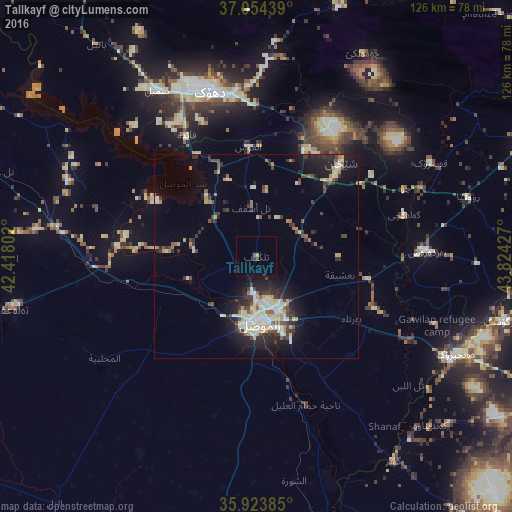
Analysis of Tallkayf night lights 2016
Square area 10x10 km:
 0%
0%90-99
0%80-89
0%70-79
0.18%60-69
0.55%50-59
0.73%40-49
0.55%30-39
0.18%20-29
0.73%10-19
0%0-9
97.07%Square area 50x50 km:
0.42%90-99
2.09%80-89
1.74%70-79
0.84%60-69
0.8%50-59
0.92%40-49
1.26%30-39
1.91%20-29
2.59%10-19
5.8%0-9
81.64%Clear (daylight) street map image can be seen on geolist.org.
Map coordinates:
37° 3' 15.8" North, 42° 25' 4.9" East
36° 29' 28.2" North, 43° 7' 16.1" East
35° 55' 25.9" North, 43° 49' 27.4" East
Some cities around Tallkayf sort by population:
• Al Mawşil al Jadīdah
17.7 km =11 mi,  184°
184°
• Mosul
17.4 km =10.8 mi, 180°
• Dihok
43.4 km =27 mi,  344°
344°
• Sīnah
36 km =22.4 mi,  348°
348°
• Zaxo
82.7 km =51.4 mi,  332°
332°
• Al-Hamdaniya
33.6 km =20.9 mi,  136°
136°
• Batifa
76.6 km =47.6 mi, 352°
• ‘Aqrah
75.2 km =46.7 mi,  66°
66°
90353 (p: 23,524)
Sources (retrieved 2019-11-25):
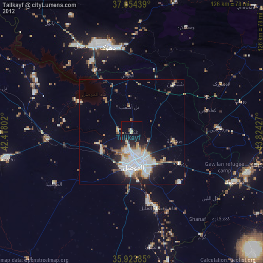
» Earth at Night: Flat Maps 2012, 2016