Soran night lights from space
Night Light of Soran (Arbīl) from space (Iraq) Src. Average luminocity for 10x10km area is 53.2692% and for 50x50km: 6.1495%.
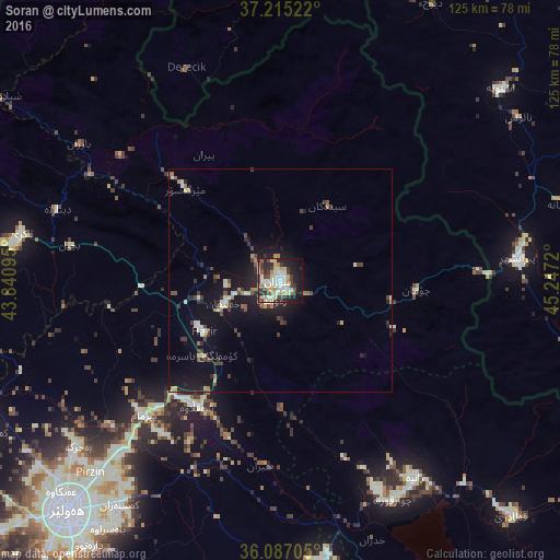
Analysis of Soran night lights 2016
Square area 10x10 km:
 7.33%
7.33%90-99
15.93%80-89
11.54%70-79
5.31%60-69
4.4%50-59
2.93%40-49
6.23%30-39
9.71%20-29
15.38%10-19
18.5%0-9
2.75%Square area 50x50 km:
0.33%90-99
1.12%80-89
0.92%70-79
0.53%60-69
0.66%50-59
0.36%40-49
1.12%30-39
1.25%20-29
1.66%10-19
6.24%0-9
85.79%Clear (daylight) street map image can be seen on geolist.org.
Map coordinates:
37° 12' 54.8" North, 43° 50' 27.4" East
36° 39' 11.5" North, 44° 32' 38.7" East
36° 5' 13.4" North, 45° 14' 49.9" East
Some cities around Soran sort by population:
• Erbil
70.7 km =43.9 mi,  222°
222°
• Naqadeh, IR
82.3 km =51.1 mi,  65°
65°
• Piranshahr, IR
53.5 km =33.2 mi,  84°
84°
• Oshnavīyeh, IR
65.4 km =40.6 mi,  48°
48°
• Koysinceq
63.9 km =39.7 mi,  173°
173°
• ‘Aqrah
59.1 km =36.7 mi,  281°
281°
• Ṟuwandiz
4.9 km =3 mi,  201°
201°
• Şemdinli, TR
72.5 km =45 mi,  2°
2°
96961 (p: 125,000)
Sources (retrieved 2019-11-25):
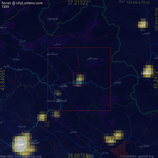
» NASA, Earths city lights 1995
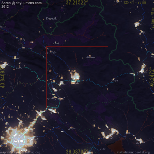
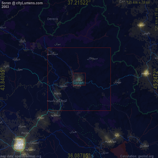
» NASA city lights 2003
» Earth at Night: Flat Maps 2012, 2016