Dihok night lights from space
Night Light of Dihok (Dahūk) from space (Iraq) Src. Average luminocity for 10x10km area is 67.1981% and for 50x50km: 13.6647%.
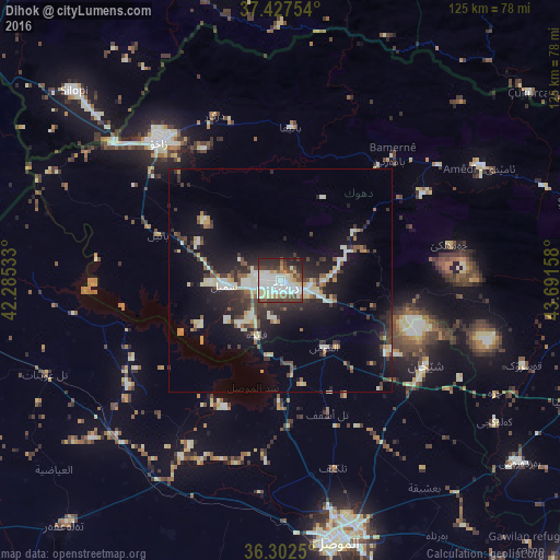
Analysis of Dihok night lights 2016
Square area 10x10 km:
 20.94%
90-99
19.81%80-89
9.58%70-79
2.44%60-69
4.22%50-59
3.41%40-49
10.88%30-39
11.53%20-29
14.12%10-19
3.08%0-9
0%Square area 50x50 km:
1.51%90-99
2.85%80-89
1.93%70-79
0.97%60-69
0.96%50-59
1.22%40-49
1.98%30-39
3.07%20-29
4.43%10-19
10.02%0-9
71.05%Clear (daylight) street map image can be seen on geolist.org.
Map coordinates:
37° 25' 39.1" North, 42° 17' 7.2" East
36° 52' 1.5" North, 42° 59' 18.4" East
36° 18' 9" North, 43° 41' 29.7" East
Some cities around Dihok sort by population:
• Al Mawşil al Jadīdah
60.3 km =37.5 mi,  170°
170°
• Mosul
60.3 km =37.5 mi, 168°
• Sīnah
7.9 km =4.9 mi,  145°
145°
• Zaxo
41.3 km =25.7 mi,  319°
319°
• Silopi, TR
62.6 km =38.9 mi,  311°
311°
• Batifa
34.3 km =21.3 mi,  3°
3°
• Tallkayf
43.4 km =27 mi,  164°
164°
• Uludere, TR
64.9 km =40.3 mi,  349°
349°
96994 (p: 284,000)
Sources (retrieved 2019-11-25):
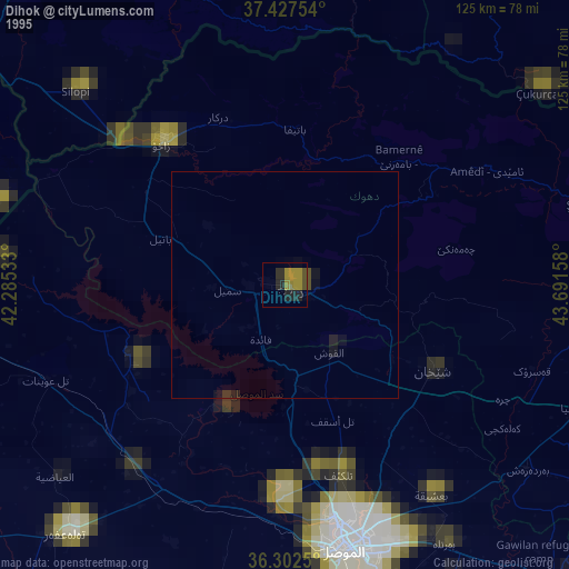
» NASA, Earths city lights 1995
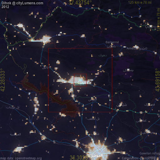
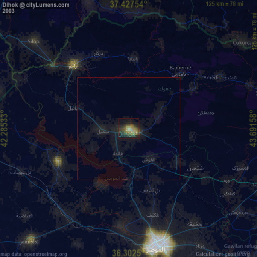
» NASA city lights 2003
» Earth at Night: Flat Maps 2012, 2016