Al-Hamdaniya night lights from space
Night Light of Al-Hamdaniya (Nineveh) from space (Iraq) Src. Average luminocity for 10x10km area is 0.0087% and for 50x50km: 7.3823%.
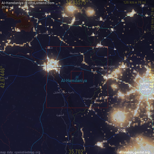
Analysis of Al-Hamdaniya night lights 2016
Square area 10x10 km:
 0%
0%90-99
0%80-89
0%70-79
0%60-69
0%50-59
0%40-49
0%30-39
0%20-29
0%10-19
0%0-9
100%Square area 50x50 km:
0.35%90-99
1.67%80-89
1.33%70-79
0.5%60-69
0.77%50-59
0.89%40-49
1.12%30-39
1.93%20-29
1.78%10-19
3.79%0-9
85.86%Clear (daylight) street map image can be seen on geolist.org.
Map coordinates:
36° 50' 8.7" North, 42° 40' 28.1" East
36° 16' 15.3" North, 43° 22' 39.3" East
35° 42' 7.2" North, 44° 4' 50.6" East
Some cities around Al-Hamdaniya sort by population:
• Al Mawşil al Jadīdah
25.3 km =15.7 mi,  285°
285°
• Mosul
24.3 km =15.1 mi, 287°
• Erbil
57.7 km =35.9 mi,  99°
99°
• Dihok
74.8 km =46.5 mi,  332°
332°
• Sīnah
67 km =41.6 mi, 333°
• Batifa
105.6 km =65.6 mi,  342°
342°
• Tallkayf
33.6 km =20.9 mi,  316°
316°
• ‘Aqrah
71.4 km =44.4 mi,  40°
40°
92430 (p: 50,000)
Sources (retrieved 2019-11-25):
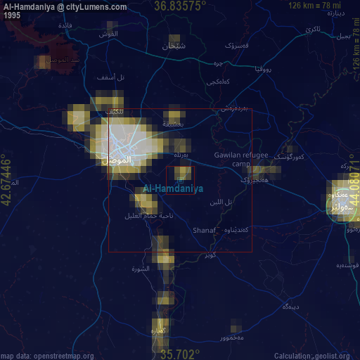
» NASA, Earths city lights 1995
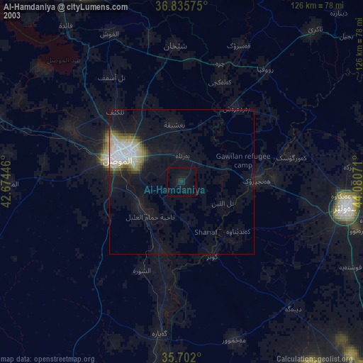
» NASA city lights 2003
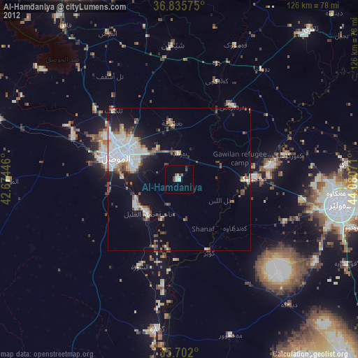
» Earth at Night: Flat Maps 2012, 2016