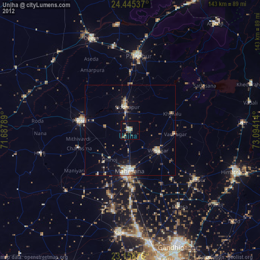
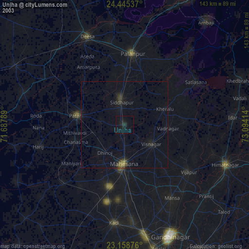
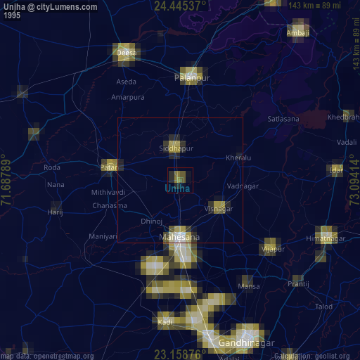
Unjha night lights from space
Night Light of Unjha (Gujarat) from space (India) Src. Average luminocity for 10x10km area is 22.4306% and for 50x50km: 7.3183%.
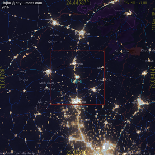
Analysis of Unjha night lights 2016
Square area 10x10 km:
 1.79%
1.79%90-99
3.77%80-89
0.79%70-79
2.58%60-69
6.55%50-59
5.16%40-49
2.38%30-39
1.59%20-29
1.59%10-19
22.02%0-9
51.79%Square area 50x50 km:
0.45%90-99
1.51%80-89
0.53%70-79
0.85%60-69
0.89%50-59
1.27%40-49
1.05%30-39
1.16%20-29
1.19%10-19
5.47%0-9
85.62%Clear (daylight) street map image can be seen on geolist.org.
Map coordinates:
24° 26' 43.3" North, 71° 41' 16.4" East
23° 48' 13.2" North, 72° 23' 27.6" East
23° 9' 31.5" North, 73° 5' 38.9" East
Some cities around Unjha sort by population:
• Pālanpur
41.2 km =25.6 mi,  6°
6°
• Pātan
27.1 km =16.8 mi,  281°
281°
• Visnagar
20.1 km =12.5 mi,  125°
125°
• Siddhapur
12.8 km =8 mi,  351°
351°
• Vadnagar
25.3 km =15.7 mi,  94°
94°
• Kherālu
24.9 km =15.5 mi,  68°
68°
• Chānasma
30 km =18.6 mi,  250°
250°
• Kānodar
31.8 km =19.8 mi,  0°
0°
1253750 (p: 54,620)
Sources (retrieved 2019-11-25):
» NASA, Earths city lights 1995
» NASA city lights 2003
» Earth at Night: Flat Maps 2012, 2016