Visnagar night lights from space
Night Light of Visnagar (Gujarat) from space (India) Src. Average luminocity for 10x10km area is 20.3373% and for 50x50km: 10.061%.
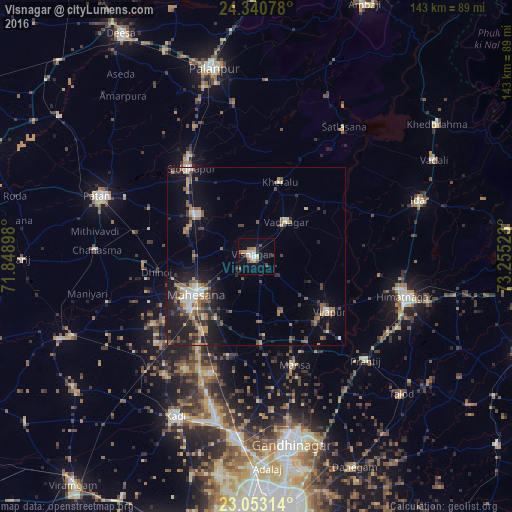
Analysis of Visnagar night lights 2016
Square area 10x10 km:
 0.79%
0.79%90-99
4.76%80-89
2.18%70-79
3.37%60-69
2.78%50-59
2.58%40-49
4.17%30-39
0.4%20-29
2.18%10-19
9.52%0-9
67.26%Square area 50x50 km:
0.44%90-99
1.71%80-89
0.93%70-79
1.09%60-69
1.5%50-59
2.02%40-49
1.68%30-39
1.64%20-29
2.84%10-19
7.36%0-9
78.78%Clear (daylight) street map image can be seen on geolist.org.
Map coordinates:
24° 20' 26.8" North, 71° 50' 56.3" East
23° 41' 54.8" North, 72° 33' 7.6" East
23° 3' 11.3" North, 73° 15' 18.8" East
Some cities around Visnagar sort by population:
• Himatnagar
43.6 km =27.1 mi,  104°
104°
• Unjha
20.1 km =12.5 mi,  305°
305°
• Siddhapur
30.5 km =19 mi,  323°
323°
• Mānsa
32.2 km =20 mi,  160°
160°
• Vadnagar
13.1 km =8.1 mi,  42°
42°
• Vijāpur
25.1 km =15.6 mi,  127°
127°
• Kherālu
21.8 km =13.5 mi,  18°
18°
• Jhulasan
41.9 km =26 mi,  191°
191°
1253095 (p: 68,619)
Sources (retrieved 2019-11-25):
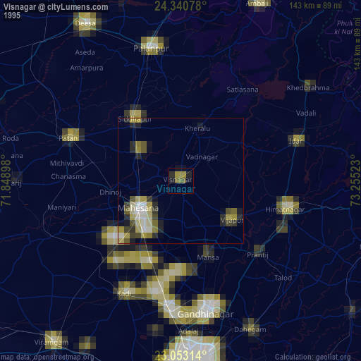
» NASA, Earths city lights 1995
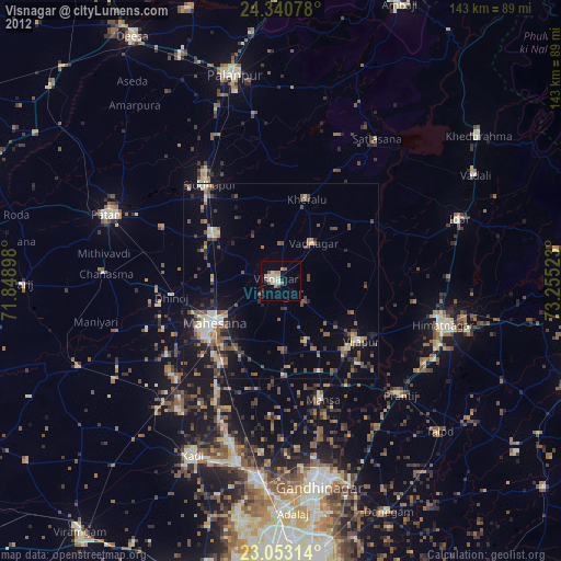
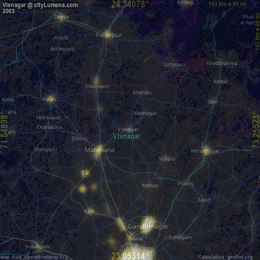
» NASA city lights 2003
» Earth at Night: Flat Maps 2012, 2016