Siddhapur night lights from space
Night Light of Siddhapur (Gujarat) from space (India) Src. Average luminocity for 10x10km area is 24.627% and for 50x50km: 5.1168%.
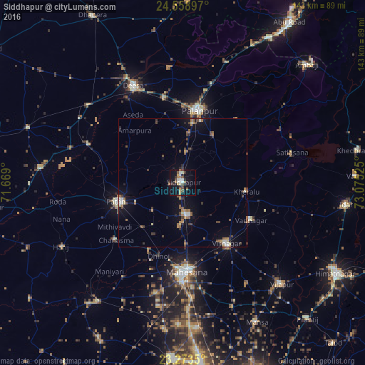
Analysis of Siddhapur night lights 2016
Square area 10x10 km:
 1.59%
1.59%90-99
5.95%80-89
2.98%70-79
2.18%60-69
2.78%50-59
3.77%40-49
3.57%30-39
3.37%20-29
3.97%10-19
26.59%0-9
43.25%Square area 50x50 km:
0.23%90-99
0.78%80-89
0.4%70-79
0.54%60-69
0.84%50-59
0.86%40-49
1%30-39
0.75%20-29
0.63%10-19
4.03%0-9
89.95%Clear (daylight) street map image can be seen on geolist.org.
Map coordinates:
24° 33' 32.3" North, 71° 40' 8.4" East
23° 55' 4.2" North, 72° 22' 19.6" East
23° 16' 24.6" North, 73° 4' 30.9" East
Some cities around Siddhapur sort by population:
• Pālanpur
29 km =18 mi,  13°
13°
• Pātan
25.8 km =16 mi,  253°
253°
• Visnagar
30.5 km =19 mi,  143°
143°
• Unjha
12.8 km =8 mi,  171°
171°
• Vadnagar
30.8 km =19.1 mi,  118°
118°
• Kherālu
25.3 km =15.7 mi,  98°
98°
• Chānasma
34.7 km =21.6 mi,  229°
229°
• Kānodar
19.2 km =11.9 mi, 6°
1256382 (p: 54,313)
Sources (retrieved 2019-11-25):
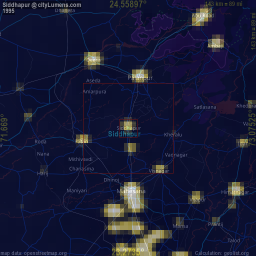
» NASA, Earths city lights 1995
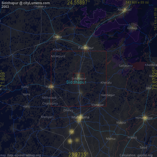
» NASA city lights 2003
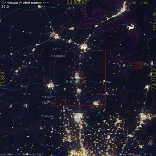
» Earth at Night: Flat Maps 2012, 2016