Kānodar night lights from space
Night Light of Kānodar (Gujarat) from space (India) Src. Average luminocity for 10x10km area is 9.8125% and for 50x50km: 6.0833%.
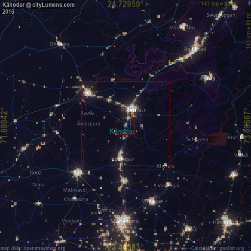
Analysis of Kānodar night lights 2016
Square area 10x10 km:
 0.38%
0.38%90-99
0%80-89
0.76%70-79
0.76%60-69
1.89%50-59
1.89%40-49
3.03%30-39
1.33%20-29
2.08%10-19
9.85%0-9
78.03%Square area 50x50 km:
0.32%90-99
0.97%80-89
0.6%70-79
0.49%60-69
0.96%50-59
1%40-49
1.31%30-39
0.85%20-29
1.09%10-19
5.33%0-9
87.08%Clear (daylight) street map image can be seen on geolist.org.
Map coordinates:
24° 43' 46.5" North, 71° 41' 25.5" East
24° 5' 21.6" North, 72° 23' 36.7" East
23° 26' 45" North, 73° 5' 48" East
Some cities around Kānodar sort by population:
• Pālanpur
10.2 km =6.3 mi,  26°
26°
• Pātan
37.7 km =23.4 mi,  225°
225°
• Dīsa
28.6 km =17.8 mi,  310°
310°
• Visnagar
46.3 km =28.8 mi,  159°
159°
• Unjha
31.8 km =19.8 mi,  180°
180°
• Siddhapur
19.2 km =11.9 mi,  186°
186°
• Vadnagar
42 km =26.1 mi,  143°
143°
• Kherālu
32.2 km =20 mi,  134°
134°
1268004 (p: 11,953)
Sources (retrieved 2019-11-25):
» Earth at Night: Flat Maps 2012, 2016