Pālanpur night lights from space
Night Light of Pālanpur (Gujarat) from space (India) Src. Average luminocity for 10x10km area is 38.4508% and for 50x50km: 4.5428%.
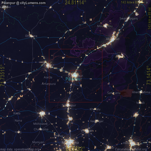
Analysis of Pālanpur night lights 2016
Square area 10x10 km:
 3.98%
3.98%90-99
9.47%80-89
3.98%70-79
1.7%60-69
7.58%50-59
5.87%40-49
7.2%30-39
3.98%20-29
7.77%10-19
37.5%0-9
10.98%Square area 50x50 km:
0.19%90-99
0.56%80-89
0.43%70-79
0.36%60-69
0.77%50-59
0.81%40-49
1.09%30-39
0.77%20-29
0.84%10-19
3.55%0-9
90.63%Clear (daylight) street map image can be seen on geolist.org.
Map coordinates:
24° 48' 40.1" North, 71° 44' 6.5" East
24° 10' 16.6" North, 72° 26' 17.8" East
23° 31' 41.5" North, 73° 8' 29" East
Some cities around Pālanpur sort by population:
• Pātan
47.5 km =29.5 mi,  221°
221°
• Dīsa
27.9 km =17.3 mi,  289°
289°
• Unjha
41.2 km =25.6 mi,  186°
186°
• Siddhapur
29 km =18 mi, 193°
• Ābu Road
48.9 km =30.4 mi,  45°
45°
• Vadnagar
47.4 km =29.5 mi,  154°
154°
• Kherālu
36.7 km =22.8 mi, 150°
• Kānodar
10.2 km =6.3 mi,  206°
206°
1260777 (p: 123,294)
Sources (retrieved 2019-11-25):
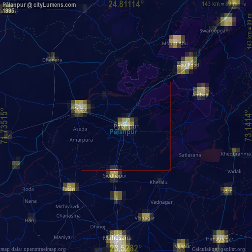
» NASA, Earths city lights 1995
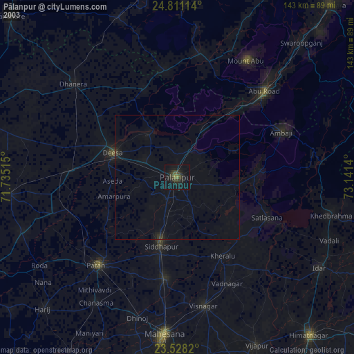
» NASA city lights 2003
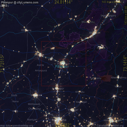
» Earth at Night: Flat Maps 2012, 2016