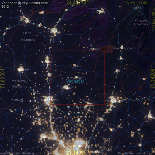
Vadnagar night lights from space
Night Light of Vadnagar (Gujarat) from space (India) Src. Average luminocity for 10x10km area is 7.7798% and for 50x50km: 3.57%.

Analysis of Vadnagar night lights 2016
Square area 10x10 km:
 0%
0%90-99
1.59%80-89
2.78%70-79
0.79%60-69
0%50-59
1.39%40-49
0.99%30-39
0.6%20-29
0.99%10-19
0.79%0-9
90.08%Square area 50x50 km:
0.1%90-99
0.56%80-89
0.26%70-79
0.29%60-69
0.4%50-59
0.79%40-49
0.75%30-39
0.52%20-29
0.91%10-19
2%0-9
93.42%Clear (daylight) street map image can be seen on geolist.org.
Map coordinates:
24° 25' 39.8" North, 71° 56' 8.9" East
23° 47' 9.3" North, 72° 38' 20.1" East
23° 8' 27.4" North, 73° 20' 31.4" East
Some cities around Vadnagar sort by population:
• Visnagar
13.1 km =8.1 mi,  222°
222°
• Himatnagar
39.3 km =24.4 mi,  121°
121°
• Unjha
25.3 km =15.7 mi,  274°
274°
• Siddhapur
30.8 km =19.1 mi,  298°
298°
• Mānsa
40.1 km =24.9 mi,  177°
177°
• Vijāpur
27.3 km =17 mi,  155°
155°
• Kherālu
11.2 km =7 mi,  349°
349°
• Kānodar
42 km =26.1 mi,  323°
323°
1253577 (p: 24,832)
Sources (retrieved 2019-11-25):
» Earth at Night: Flat Maps 2012, 2016