Sohāgpur night lights from space
Night Light of Sohāgpur (Madhya Pradesh) from space (India) Src. Average luminocity for 10x10km area is 10.1726% and for 50x50km: 5.3498%.
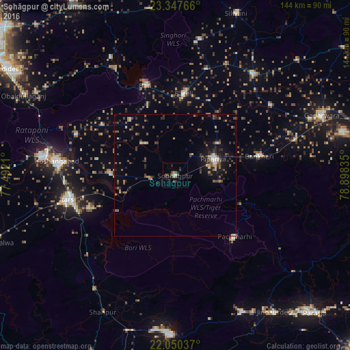
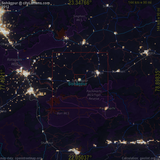
Analysis of Sohāgpur night lights 2016
Square area 10x10 km:
 0.99%
0.99%90-99
0.6%80-89
0.79%70-79
0%60-69
0.79%50-59
3.97%40-49
3.17%30-39
1.59%20-29
5.16%10-19
1.98%0-9
80.95%Square area 50x50 km:
0.26%90-99
0.49%80-89
0.3%70-79
0.53%60-69
0.71%50-59
1.2%40-49
1.01%30-39
1.28%20-29
2.01%10-19
3.07%0-9
89.13%Clear (daylight) street map image can be seen on geolist.org.
Map coordinates:
23° 20' 51.6" North, 77° 29' 31.6" East
22° 42' 2" North, 78° 11' 42.8" East
22° 3' 1.3" North, 78° 53' 54.1" East
Some cities around Sohāgpur sort by population:
• Hoshangābād
48.3 km =30 mi,  276°
276°
• Itārsi
45.4 km =28.2 mi,  257°
257°
• Gādarwāra
65.3 km =40.6 mi,  67°
67°
• Jāmai
69.3 km =43.1 mi,  143°
143°
• Bābai
26.7 km =16.6 mi,  270°
270°
• Udaipura
52.7 km =32.7 mi,  37°
37°
• Chichli
66.4 km =41.3 mi,  77°
77°
• Sultānpur
55.5 km =34.5 mi,  331°
331°
1255884 (p: 23,849)
Sources (retrieved 2019-11-25):
» Earth at Night: Flat Maps 2012, 2016