Jāmai night lights from space
Night Light of Jāmai (Madhya Pradesh) from space (India) Src. Average luminocity for 10x10km area is 17.8542% and for 50x50km: 4.3793%.
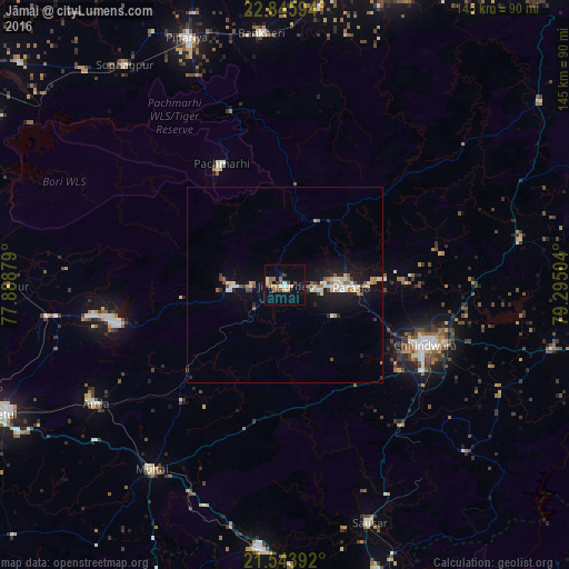
Analysis of Jāmai night lights 2016
Square area 10x10 km:
 0.57%
0.57%90-99
3.22%80-89
2.65%70-79
1.89%60-69
2.46%50-59
2.84%40-49
2.84%30-39
2.46%20-29
0%10-19
9.28%0-9
71.78%Square area 50x50 km:
0.34%90-99
0.96%80-89
0.46%70-79
0.4%60-69
0.5%50-59
0.54%40-49
0.53%30-39
0.33%20-29
0.53%10-19
4.18%0-9
91.22%Clear (daylight) street map image can be seen on geolist.org.
Map coordinates:
22° 50' 45.4" North, 77° 53' 19.6" East
22° 11' 47.2" North, 78° 35' 30.9" East
21° 32' 38.1" North, 79° 17' 42.1" East
Some cities around Jāmai sort by population:
• Chhindwāra
39 km =24.2 mi,  113°
113°
• Pāndhurnā
67.2 km =41.8 mi,  185°
185°
• Parāsia
17.2 km =10.7 mi,  91°
91°
• Amla
56.6 km =35.2 mi,  237°
237°
• Sausar
63.7 km =39.6 mi,  160°
160°
• Multai
58.2 km =36.2 mi,  216°
216°
• Amarwāra
60.5 km =37.6 mi,  79°
79°
• Mohgaon
63.7 km =39.6 mi,  166°
166°
1269377 (p: 22,587)
Sources (retrieved 2019-11-25):
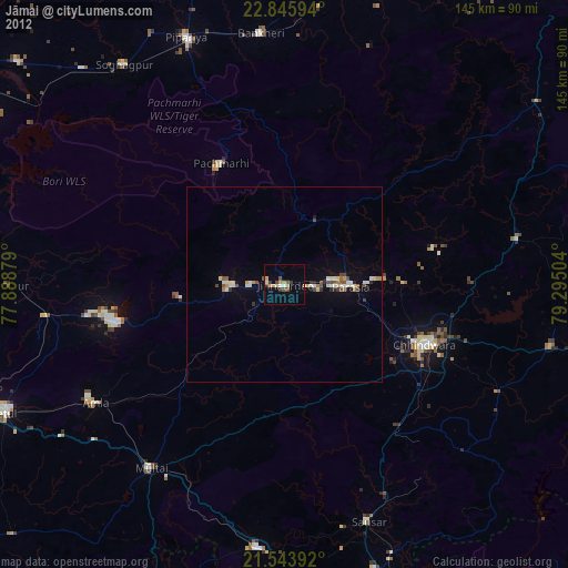
» Earth at Night: Flat Maps 2012, 2016