Gādarwāra night lights from space
Night Light of Gādarwāra (Madhya Pradesh) from space (India) Src. Average luminocity for 10x10km area is 39.5139% and for 50x50km: 10.7135%.
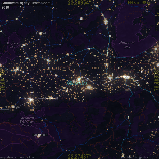
Analysis of Gādarwāra night lights 2016
Square area 10x10 km:
 4.37%
4.37%90-99
4.37%80-89
6.35%70-79
1.59%60-69
9.52%50-59
7.14%40-49
6.15%30-39
7.94%20-29
10.52%10-19
41.27%0-9
0.79%Square area 50x50 km:
0.5%90-99
0.83%80-89
0.93%70-79
0.94%60-69
1.76%50-59
1.98%40-49
2.04%30-39
2.26%20-29
3.19%10-19
9.5%0-9
76.07%Clear (daylight) street map image can be seen on geolist.org.
Map coordinates:
23° 34' 10.3" North, 78° 4' 54.4" East
22° 55' 24.6" North, 78° 47' 5.6" East
22° 16' 27.7" North, 79° 29' 16.9" East
Some cities around Gādarwāra sort by population:
• Narsimhapur
40.9 km =25.4 mi,  85°
85°
• Kareli
28.6 km =17.8 mi, 91°
• Deori Khās
57 km =35.4 mi,  24°
24°
• Sohāgpur
65.3 km =40.6 mi,  247°
247°
• Udaipura
32.7 km =20.3 mi,  300°
300°
• Harrai
56.5 km =35.1 mi,  127°
127°
• Chichli
10.8 km =6.7 mi,  157°
157°
• Jaithāri
36.2 km =22.5 mi,  331°
331°
1271847 (p: 41,420)
Sources (retrieved 2019-11-25):
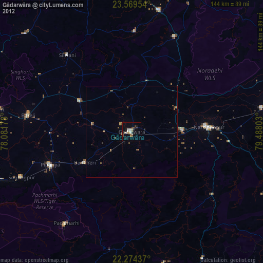
» Earth at Night: Flat Maps 2012, 2016