Sitārganj night lights from space
Night Light of Sitārganj (Uttarakhand) from space (India) Src. Average luminocity for 10x10km area is 26.3413% and for 50x50km: 14.8238%.
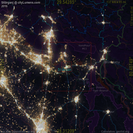
Analysis of Sitārganj night lights 2016
Square area 10x10 km:
 0.4%
0.4%90-99
3.37%80-89
4.37%70-79
1.79%60-69
3.97%50-59
2.78%40-49
5.95%30-39
6.15%20-29
7.94%10-19
42.86%0-9
20.44%Square area 50x50 km:
0.73%90-99
1.55%80-89
1.49%70-79
1.33%60-69
2%50-59
2.95%40-49
4.15%30-39
3.96%20-29
4.92%10-19
12.66%0-9
64.25%Clear (daylight) street map image can be seen on geolist.org.
Map coordinates:
29° 32' 34.3" North, 79° 0' 4.5" East
28° 55' 45.5" North, 79° 42' 15.7" East
28° 18' 43.5" North, 80° 24' 27" East
Some cities around Sitārganj sort by population:
• Haldwani
36.8 km =22.9 mi,  332°
332°
• Pīlibhīt
34.5 km =21.4 mi,  163°
163°
• Baheri
26.5 km =16.5 mi,  229°
229°
• Kichha
18 km =11.2 mi,  263°
263°
• Richha
31.5 km =19.6 mi,  214°
214°
• Khatīma
25.9 km =16.1 mi,  91°
91°
• Jahānābād
33.3 km =20.7 mi,  177°
177°
• Banbasa
36.8 km =22.9 mi,  79°
79°
1255963 (p: 24,225)
Sources (retrieved 2019-11-25):
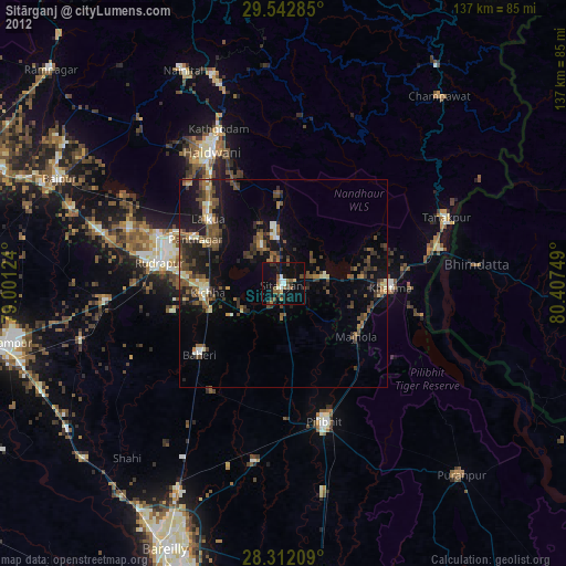
» Earth at Night: Flat Maps 2012, 2016