Jahānābād night lights from space
Night Light of Jahānābād (Uttar Pradesh) from space (India) Src. Average luminocity for 10x10km area is 7.0871% and for 50x50km: 6.9901%.
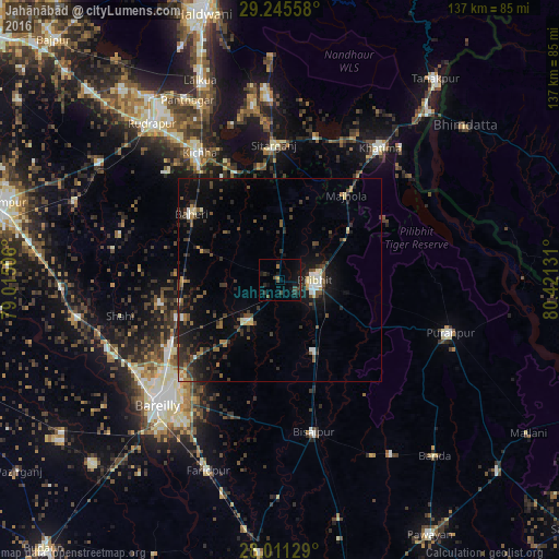
Analysis of Jahānābād night lights 2016
Square area 10x10 km:
 0%
0%90-99
0%80-89
0%70-79
0.76%60-69
0.76%50-59
0.19%40-49
3.03%30-39
2.08%20-29
3.03%10-19
9.85%0-9
80.3%Square area 50x50 km:
0.4%90-99
0.66%80-89
0.58%70-79
0.45%60-69
0.66%50-59
1.12%40-49
1.49%30-39
2.37%20-29
2.24%10-19
5.95%0-9
84.07%Clear (daylight) street map image can be seen on geolist.org.
Map coordinates:
29° 14' 44.1" North, 79° 0' 54.2" East
28° 37' 48.9" North, 79° 43' 5.4" East
28° 0' 40.6" North, 80° 25' 16.7" East
Some cities around Jahānābād sort by population:
• Pīlibhīt
8.4 km =5.2 mi,  89°
89°
• Baheri
26.8 km =16.7 mi,  306°
306°
• Nawābganj
12.8 km =8 mi,  219°
219°
• Sitārganj
33.3 km =20.7 mi,  357°
357°
• Deoraniān
23.6 km =14.7 mi,  269°
269°
• Richha
20.4 km =12.7 mi,  290°
290°
• Shergarh
34.2 km =21.3 mi, 273°
• Barkhera Kalān
21.6 km =13.4 mi,  156°
156°
1269555 (p: 13,617)
Sources (retrieved 2019-11-25):
» Earth at Night: Flat Maps 2012, 2016