Kichha night lights from space
Night Light of Kichha (Uttarakhand) from space (India) Src. Average luminocity for 10x10km area is 51.254% and for 50x50km: 20.8486%.
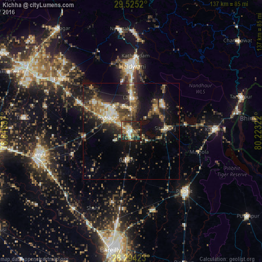
Analysis of Kichha night lights 2016
Square area 10x10 km:
 5.95%
5.95%90-99
8.53%80-89
7.74%70-79
5.95%60-69
6.94%50-59
11.51%40-49
12.9%30-39
10.71%20-29
17.26%10-19
12.5%0-9
0%Square area 50x50 km:
1.37%90-99
2.77%80-89
2.68%70-79
2.31%60-69
2.7%50-59
3.84%40-49
5%30-39
4.81%20-29
7.24%10-19
14.1%0-9
53.17%Clear (daylight) street map image can be seen on geolist.org.
Map coordinates:
29° 31' 30.7" North, 78° 49' 1.1" East
28° 54' 41.5" North, 79° 31' 12.3" East
28° 17' 39.2" North, 80° 13' 23.6" East
Some cities around Kichha sort by population:
• Baheri
15.4 km =9.6 mi,  188°
188°
• Bīlāspur
24.5 km =15.2 mi,  263°
263°
• Kemrī
32.8 km =20.4 mi,  249°
249°
• Sitārganj
18 km =11.2 mi,  83°
83°
• Shīshgarh
28.5 km =17.7 mi,  224°
224°
• Deoraniān
31.6 km =19.6 mi, 187°
• Richha
24.1 km =15 mi,  179°
179°
• Shergarh
32.5 km =20.2 mi,  207°
207°
1266575 (p: 34,904)
Sources (retrieved 2019-11-25):
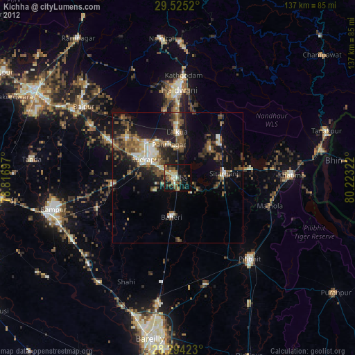
» Earth at Night: Flat Maps 2012, 2016