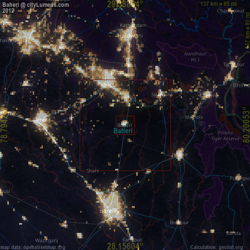
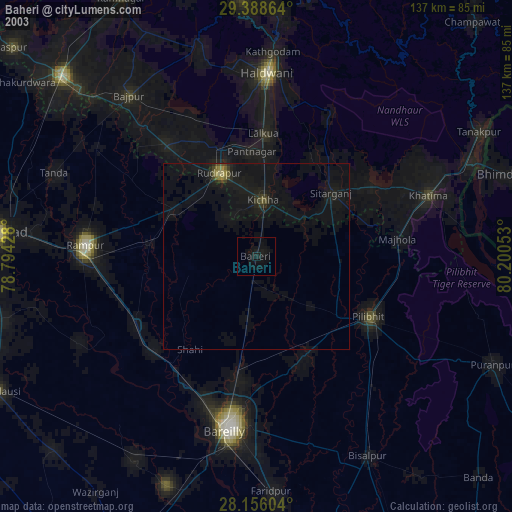
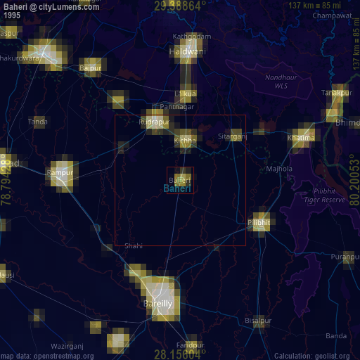
Baheri night lights from space
Night Light of Baheri (Uttar Pradesh) from space (India) Src. Average luminocity for 10x10km area is 17.0739% and for 50x50km: 14.1019%.
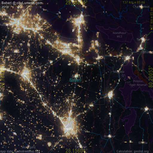
Analysis of Baheri night lights 2016
Square area 10x10 km:
 0.95%
0.95%90-99
2.27%80-89
2.84%70-79
0.57%60-69
0.95%50-59
3.22%40-49
2.46%30-39
5.49%20-29
4.17%10-19
8.52%0-9
68.56%Square area 50x50 km:
0.88%90-99
1.51%80-89
1.63%70-79
1.18%60-69
1.21%50-59
2.73%40-49
3.81%30-39
3.82%20-29
4.97%10-19
10.33%0-9
67.94%Clear (daylight) street map image can be seen on geolist.org.
Map coordinates:
29° 23' 19.1" North, 78° 47' 39.4" East
28° 46' 27" North, 79° 29' 50.6" East
28° 9' 21.7" North, 80° 12' 1.9" East
Some cities around Baheri sort by population:
• Bīlāspur
25.4 km =15.8 mi,  299°
299°
• Kichha
15.4 km =9.6 mi,  8°
8°
• Sitārganj
26.5 km =16.5 mi,  49°
49°
• Shīshgarh
18.5 km =11.5 mi,  254°
254°
• Deoraniān
16.2 km =10.1 mi,  187°
187°
• Richha
9.2 km =5.7 mi,  164°
164°
• Shergarh
18.6 km =11.6 mi,  222°
222°
• Jahānābād
26.8 km =16.7 mi,  126°
126°
1277814 (p: 63,953)
Sources (retrieved 2019-11-25):
» NASA, Earths city lights 1995
» NASA city lights 2003
» Earth at Night: Flat Maps 2012, 2016