Haldwani night lights from space
Night Light of Haldwani (Uttarakhand) from space (India) Src. Average luminocity for 10x10km area is 70.6825% and for 50x50km: 17.0666%.
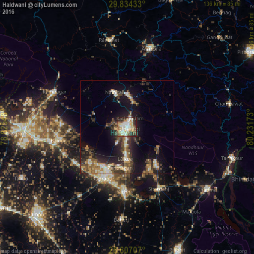
Analysis of Haldwani night lights 2016
Square area 10x10 km:
 13.89%
90-99
20.44%80-89
15.67%70-79
7.74%60-69
8.73%50-59
9.33%40-49
5.56%30-39
6.15%20-29
10.91%10-19
1.59%0-9
0%Square area 50x50 km:
1.51%90-99
2.67%80-89
2.09%70-79
1.91%60-69
2.38%50-59
2.85%40-49
3.6%30-39
3.54%20-29
5.6%10-19
11.62%0-9
62.23%Clear (daylight) street map image can be seen on geolist.org.
Map coordinates:
29° 50' 3.6" North, 78° 49' 31.7" East
29° 13' 21.1" North, 79° 31' 43" East
28° 36' 25.5" North, 80° 13' 54.2" East
Some cities around Haldwani sort by population:
• Rāmnagar
43.2 km =26.8 mi,  295°
295°
• Naini Tāl
21 km =13 mi,  337°
337°
• Kichha
34.6 km =21.5 mi,  181°
181°
• Sitārganj
36.8 km =22.9 mi,  152°
152°
• Bāzpur
41.5 km =25.8 mi,  259°
259°
• Kālādhūngi
18.5 km =11.5 mi,  291°
291°
• Bhīm Tāl
14 km =8.7 mi,  13°
13°
• Bhowali
18.7 km =11.6 mi,  352°
352°
1270498 (p: 139,497)
Sources (retrieved 2019-11-25):
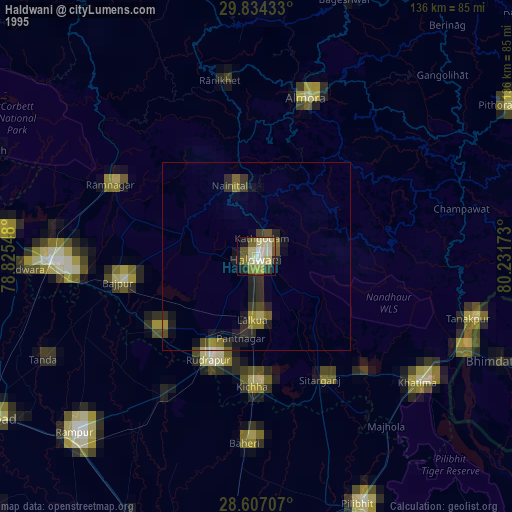
» NASA, Earths city lights 1995
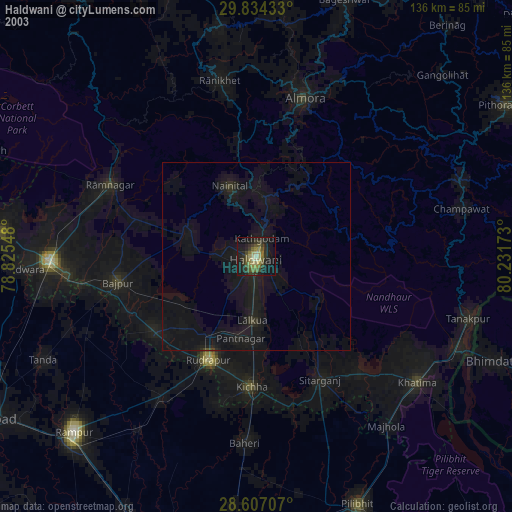
» NASA city lights 2003
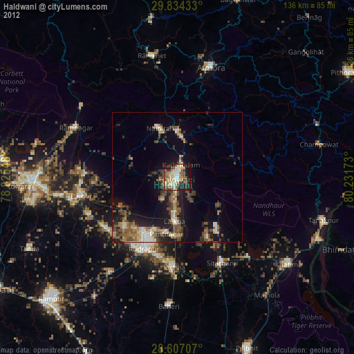
» Earth at Night: Flat Maps 2012, 2016