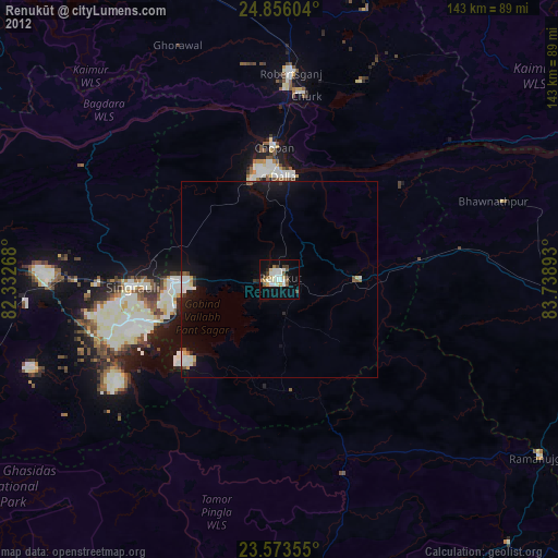
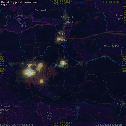
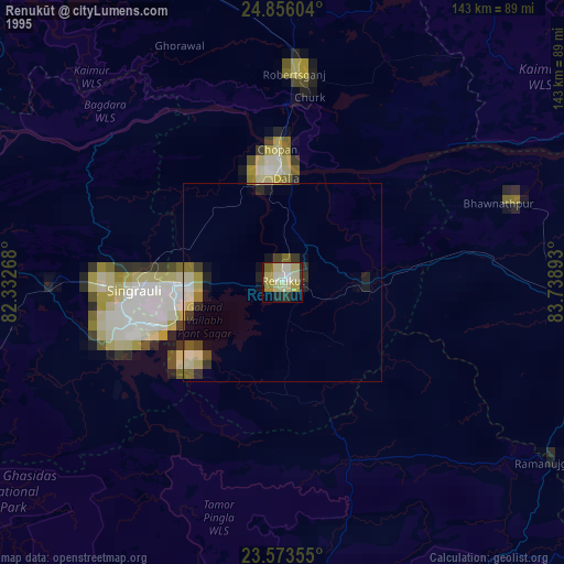
Renukūt night lights from space
Night Light of Renukūt (Uttar Pradesh) from space (India) Src. Average luminocity for 10x10km area is 34.7784% and for 50x50km: 5.4233%.

Analysis of Renukūt night lights 2016
Square area 10x10 km:
 9.85%
9.85%90-99
9.09%80-89
0.76%70-79
1.52%60-69
1.89%50-59
5.3%40-49
3.03%30-39
0.76%20-29
6.44%10-19
41.86%0-9
19.51%Square area 50x50 km:
1.18%90-99
1.04%80-89
0.18%70-79
0.17%60-69
0.27%50-59
0.58%40-49
0.57%30-39
0.68%20-29
1.75%10-19
6.03%0-9
87.55%Clear (daylight) street map image can be seen on geolist.org.
Map coordinates:
24° 51' 21.7" North, 82° 19' 57.6" East
24° 12' 59.1" North, 83° 2' 8.9" East
23° 34' 24.8" North, 83° 44' 20.1" East
Some cities around Renukūt sort by population:
• Singrauli
36.6 km =22.7 mi,  267°
267°
• Obra
23 km =14.3 mi,  347°
347°
• Garhwa
78.5 km =48.8 mi,  94°
94°
• Robertsganj
52.6 km =32.7 mi,  3°
3°
• Kota
27.3 km =17 mi,  20°
20°
• Chopan
33.7 km =20.9 mi,  357°
357°
• Dūdhi
20.8 km =12.9 mi, 90°
• Ghorāwal
65.2 km =40.5 mi,  336°
336°
1258207 (p: 62,413)
Sources (retrieved 2019-11-25):
» NASA, Earths city lights 1995
» NASA city lights 2003
» Earth at Night: Flat Maps 2012, 2016