Obra night lights from space
Night Light of Obra (Uttar Pradesh) from space (India) Src. Average luminocity for 10x10km area is 30.4921% and for 50x50km: 8.2319%.
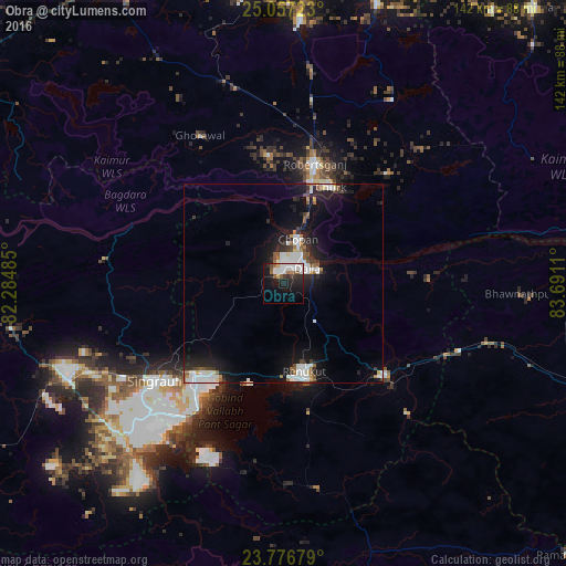
Analysis of Obra night lights 2016
Square area 10x10 km:
 7.74%
7.74%90-99
8.93%80-89
0.99%70-79
0.6%60-69
2.58%50-59
3.97%40-49
2.18%30-39
1.79%20-29
11.11%10-19
22.82%0-9
37.3%Square area 50x50 km:
1.98%90-99
1.79%80-89
0.43%70-79
0.38%60-69
0.59%50-59
1.01%40-49
0.7%30-39
0.78%20-29
2.52%10-19
7.22%0-9
82.62%Clear (daylight) street map image can be seen on geolist.org.
Map coordinates:
25° 3' 26" North, 82° 17' 5.5" East
24° 25' 7.1" North, 82° 59' 16.7" East
23° 46' 36.4" North, 83° 41' 28" East
Some cities around Obra sort by population:
• Singrauli
39.9 km =24.8 mi,  232°
232°
• Renukūt
23 km =14.3 mi,  167°
167°
• Robertsganj
31.1 km =19.3 mi,  15°
15°
• Ahraura
66.6 km =41.4 mi,  3°
3°
• Kota
14.8 km =9.2 mi,  77°
77°
• Chopan
11.8 km =7.3 mi, 17°
• Dūdhi
34.3 km =21.3 mi,  131°
131°
• Ghorāwal
42.9 km =26.7 mi,  330°
330°
1261086 (p: 56,110)
Sources (retrieved 2019-11-25):
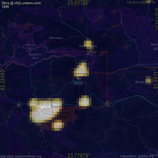
» NASA, Earths city lights 1995
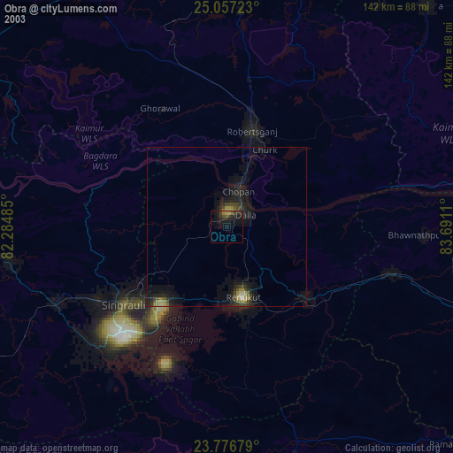
» NASA city lights 2003
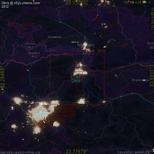
» Earth at Night: Flat Maps 2012, 2016