Garhwa night lights from space
Night Light of Garhwa (Jharkhand) from space (India) Src. Average luminocity for 10x10km area is 25.9564% and for 50x50km: 4.1669%.
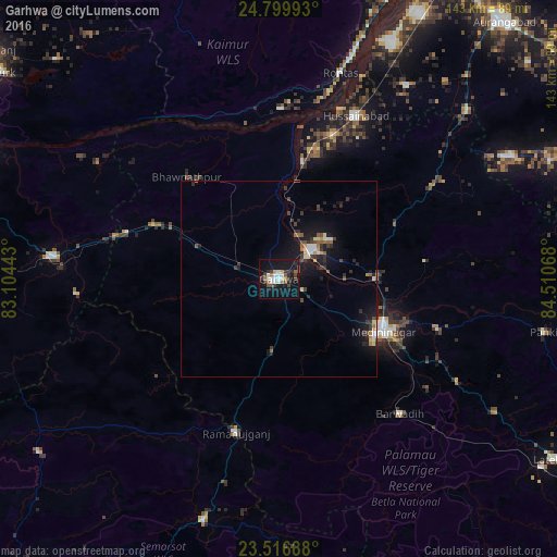
Analysis of Garhwa night lights 2016
Square area 10x10 km:
 4.73%
4.73%90-99
5.11%80-89
0%70-79
2.27%60-69
2.65%50-59
3.03%40-49
3.6%30-39
5.68%20-29
4.73%10-19
33.9%0-9
34.28%Square area 50x50 km:
0.46%90-99
0.49%80-89
0.27%70-79
0.38%60-69
0.35%50-59
0.6%40-49
0.61%30-39
1.04%20-29
1.02%10-19
4.99%0-9
89.79%Clear (daylight) street map image can be seen on geolist.org.
Map coordinates:
24° 47' 59.7" North, 83° 6' 15.9" East
24° 9' 36.1" North, 83° 48' 27.2" East
23° 31' 0.8" North, 84° 30' 38.4" East
Some cities around Garhwa sort by population:
• Daltonganj
29.4 km =18.3 mi,  117°
117°
• Renukūt
78.5 km =48.8 mi,  274°
274°
• Husainābād
45.4 km =28.2 mi,  25°
25°
• Nabīnagar
59.2 km =36.8 mi, 33°
• Kota
75.6 km =47 mi,  294°
294°
• Dūdhi
57.8 km =35.9 mi,  275°
275°
• Rāmānuj Ganj
40.8 km =25.4 mi,  195°
195°
• Barwādih
46.4 km =28.8 mi,  138°
138°
1271493 (p: 40,662)
Sources (retrieved 2019-11-25):
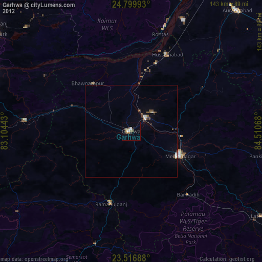
» Earth at Night: Flat Maps 2012, 2016