Rānāpur night lights from space
Night Light of Rānāpur (Madhya Pradesh) from space (India) Src. Average luminocity for 10x10km area is 3.4881% and for 50x50km: 3.3496%.
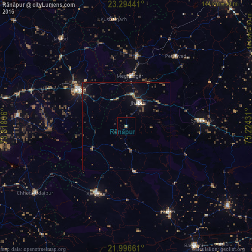
Analysis of Rānāpur night lights 2016
Square area 10x10 km:
 0%
0%90-99
0.79%80-89
0.2%70-79
0.6%60-69
1.59%50-59
0%40-49
0.79%30-39
0%20-29
0%10-19
0.79%0-9
95.24%Square area 50x50 km:
0.06%90-99
0.36%80-89
0.16%70-79
0.29%60-69
0.55%50-59
0.48%40-49
0.79%30-39
1.08%20-29
1.09%10-19
2.66%0-9
92.48%Clear (daylight) street map image can be seen on geolist.org.
Map coordinates:
23° 17' 39.9" North, 73° 49' 5" East
22° 38' 49.3" North, 74° 31' 16.2" East
21° 59' 47.8" North, 75° 13' 27.5" East
Some cities around Rānāpur sort by population:
• Dohad
33.8 km =21 mi,  307°
307°
• Jhābua
15.2 km =9.4 mi,  28°
28°
• Rajpur
41.8 km =26 mi,  204°
204°
• Rājgarh
43.6 km =27.1 mi,  85°
85°
• Thandla
40.7 km =25.3 mi,  8°
8°
• Jobat
26.1 km =16.2 mi,  169°
169°
• Bhābhra
23.7 km =14.7 mi,  236°
236°
• Bāg
42.3 km =26.3 mi,  139°
139°
1258537 (p: 10,675)
Sources (retrieved 2019-11-25):
» Earth at Night: Flat Maps 2012, 2016