Thandla night lights from space
Night Light of Thandla (Madhya Pradesh) from space (India) Src. Average luminocity for 10x10km area is 12.5694% and for 50x50km: 3.9886%.
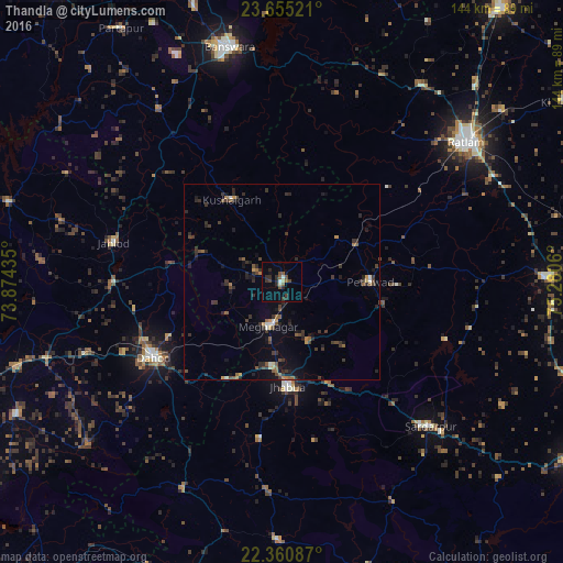
Analysis of Thandla night lights 2016
Square area 10x10 km:
 0%
0%90-99
2.18%80-89
0.99%70-79
0%60-69
1.39%50-59
2.58%40-49
2.98%30-39
3.37%20-29
5.56%10-19
2.18%0-9
78.77%Square area 50x50 km:
0.03%90-99
0.37%80-89
0.17%70-79
0.36%60-69
0.53%50-59
0.72%40-49
0.79%30-39
1.6%20-29
1.69%10-19
1.82%0-9
91.91%Clear (daylight) street map image can be seen on geolist.org.
Map coordinates:
23° 39' 18.8" North, 73° 52' 27.7" East
23° 0' 34.5" North, 74° 34' 38.9" East
22° 21' 39.1" North, 75° 16' 50.2" East
Some cities around Thandla sort by population:
• Dohad
38 km =23.6 mi,  238°
238°
• Jhābua
26.9 km =16.7 mi,  177°
177°
• Rājgarh
52.7 km =32.7 mi,  134°
134°
• Petlāwad
22.5 km =14 mi,  89°
89°
• Rānāpur
40.7 km =25.3 mi,  188°
188°
• Kushālgarh
24.7 km =15.3 mi,  328°
328°
• Bhābhra
59.1 km =36.7 mi,  205°
205°
• Bamna
21.1 km =13.1 mi,  63°
63°
1254663 (p: 13,658)
Sources (retrieved 2019-11-25):
» Earth at Night: Flat Maps 2012, 2016