Jobat night lights from space
Night Light of Jobat (Madhya Pradesh) from space (India) Src. Average luminocity for 10x10km area is 4.589% and for 50x50km: 2.2776%.
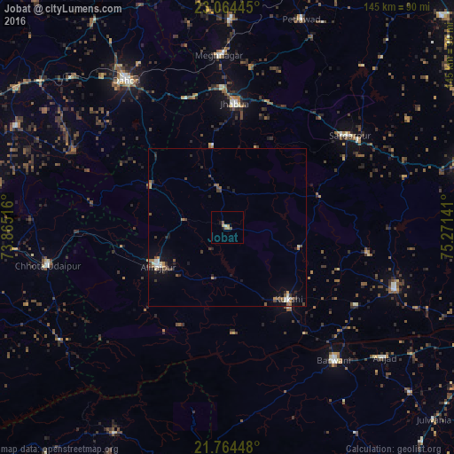
Analysis of Jobat night lights 2016
Square area 10x10 km:
 0%
0%90-99
0.76%80-89
0%70-79
1.33%60-69
1.7%50-59
1.33%40-49
0.19%30-39
0%20-29
0.38%10-19
1.14%0-9
93.18%Square area 50x50 km:
0.11%90-99
0.4%80-89
0.06%70-79
0.26%60-69
0.47%50-59
0.35%40-49
0.59%30-39
0.37%20-29
0.52%10-19
1.08%0-9
95.79%Clear (daylight) street map image can be seen on geolist.org.
Map coordinates:
23° 3' 52" North, 73° 51' 54.6" East
22° 24' 57.6" North, 74° 34' 5.8" East
21° 45' 52.1" North, 75° 16' 17.1" East
Some cities around Jobat sort by population:
• Barwāni
54.6 km =33.9 mi,  141°
141°
• Jhābua
39.2 km =24.4 mi,  3°
3°
• Rajpur
25.2 km =15.7 mi,  240°
240°
• Kukshi
30.4 km =18.9 mi, 140°
• Rājgarh
48.4 km =30.1 mi,  52°
52°
• Rānāpur
26.1 km =16.2 mi,  349°
349°
• Bhābhra
27.7 km =17.2 mi,  297°
297°
• Bāg
23.7 km =14.7 mi,  105°
105°
1268875 (p: 10,785)
Sources (retrieved 2019-11-25):
» Earth at Night: Flat Maps 2012, 2016