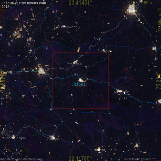
Jhābua night lights from space
Night Light of Jhābua (Madhya Pradesh) from space (India) Src. Average luminocity for 10x10km area is 24.8036% and for 50x50km: 3.655%.
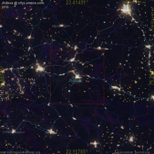
Analysis of Jhābua night lights 2016
Square area 10x10 km:
 1.19%
1.19%90-99
5.95%80-89
2.18%70-79
1.39%60-69
3.77%50-59
2.58%40-49
4.76%30-39
5.95%20-29
6.75%10-19
23.02%0-9
42.46%Square area 50x50 km:
0.08%90-99
0.47%80-89
0.17%70-79
0.36%60-69
0.36%50-59
0.59%40-49
0.69%30-39
1.28%20-29
1.12%10-19
2.23%0-9
92.64%Clear (daylight) street map image can be seen on geolist.org.
Map coordinates:
23° 24' 52.2" North, 73° 53' 15.9" East
22° 46' 3.8" North, 74° 35' 27.1" East
22° 7' 4.3" North, 75° 17' 38.4" East
Some cities around Jhābua sort by population:
• Dohad
34.7 km =21.6 mi,  282°
282°
• Rājgarh
37.6 km =23.4 mi,  105°
105°
• Thandla
26.9 km =16.7 mi,  357°
357°
• Petlāwad
34.4 km =21.4 mi,  38°
38°
• Jobat
39.2 km =24.4 mi,  183°
183°
• Rānāpur
15.2 km =9.4 mi,  208°
208°
• Bhābhra
37.7 km =23.4 mi,  225°
225°
• Bamna
40.3 km =25 mi,  25°
25°
1269053 (p: 34,135)
Sources (retrieved 2019-11-25):
» Earth at Night: Flat Maps 2012, 2016