Rajpur night lights from space
Night Light of Rajpur (Madhya Pradesh) from space (India) Src. Average luminocity for 10x10km area is 20.3087% and for 50x50km: 1.9101%.
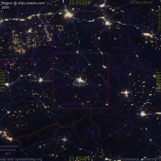
Analysis of Rajpur night lights 2016
Square area 10x10 km:
 1.7%
1.7%90-99
4.92%80-89
0.95%70-79
2.27%60-69
2.27%50-59
1.89%40-49
4.92%30-39
2.84%20-29
3.03%10-19
10.98%0-9
64.2%Square area 50x50 km:
0.07%90-99
0.24%80-89
0.06%70-79
0.23%60-69
0.37%50-59
0.24%40-49
0.57%30-39
0.46%20-29
0.66%10-19
0.77%0-9
96.33%Clear (daylight) street map image can be seen on geolist.org.
Map coordinates:
22° 57' 10.5" North, 73° 39' 9.2" East
22° 18' 14.1" North, 74° 21' 20.4" East
21° 39' 6.9" North, 75° 3' 31.7" East
Some cities around Rajpur sort by population:
• Kukshi
42.8 km =26.6 mi,  104°
104°
• Chhota Udepur
35 km =21.7 mi,  270°
270°
• Jobat
25.2 km =15.7 mi,  60°
60°
• Rānāpur
41.8 km =26 mi,  24°
24°
• Bhābhra
25.3 km =15.7 mi,  353°
353°
• Kawānt
39.2 km =24.4 mi,  233°
233°
• Jetpur
53.1 km =33 mi, 274°
• Bāg
45.1 km =28 mi,  82°
82°
1258815 (p: 26,443)
Sources (retrieved 2019-11-25):
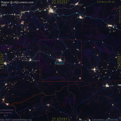
» Earth at Night: Flat Maps 2012, 2016