Dohad night lights from space
Night Light of Dohad (Gujarat) from space (India) Src. Average luminocity for 10x10km area is 38.6786% and for 50x50km: 5.4612%.
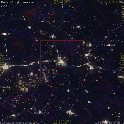

Analysis of Dohad night lights 2016
Square area 10x10 km:
 2.38%
2.38%90-99
10.91%80-89
0.6%70-79
4.56%60-69
7.94%50-59
8.53%40-49
4.56%30-39
6.75%20-29
9.92%10-19
37.1%0-9
6.75%Square area 50x50 km:
0.1%90-99
0.51%80-89
0.2%70-79
0.38%60-69
0.63%50-59
1.09%40-49
1.18%30-39
2.18%20-29
2.57%10-19
3.96%0-9
87.2%Clear (daylight) street map image can be seen on geolist.org.
Map coordinates:
23° 28' 45.5" North, 73° 33' 24.3" East
22° 49' 58.2" North, 74° 15' 35.5" East
22° 10' 59.8" North, 74° 57' 46.8" East
Some cities around Dohad sort by population:
• Jhābua
34.7 km =21.6 mi,  102°
102°
• Morwa
43.8 km =27.2 mi,  280°
280°
• Devgadh Bāriya
38.7 km =24 mi,  248°
248°
• Thandla
38 km =23.6 mi,  58°
58°
• Jobat
56.1 km =34.9 mi,  145°
145°
• Rānāpur
33.8 km =21 mi,  127°
127°
• Kushālgarh
45.2 km =28.1 mi,  25°
25°
• Bhābhra
34.3 km =21.3 mi,  168°
168°
1273687 (p: 83,966)
Sources (retrieved 2019-11-25):
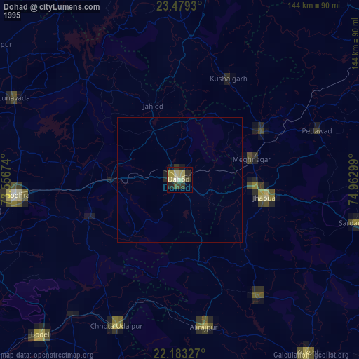
» NASA, Earths city lights 1995
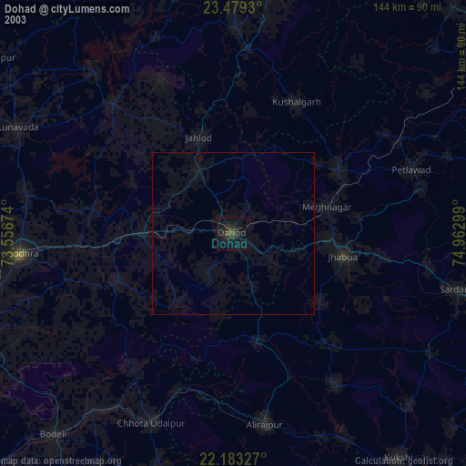
» NASA city lights 2003
» Earth at Night: Flat Maps 2012, 2016