Rāmtek night lights from space
Night Light of Rāmtek (Maharashtra) from space (India) Src. Average luminocity for 10x10km area is 22.5966% and for 50x50km: 15.6256%.
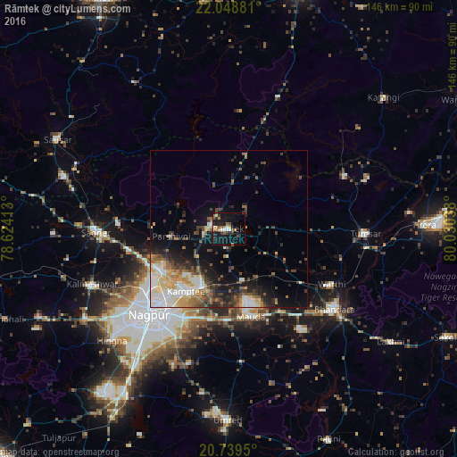
Analysis of Rāmtek night lights 2016
Square area 10x10 km:
 1.33%
1.33%90-99
3.22%80-89
1.89%70-79
1.52%60-69
5.3%50-59
2.84%40-49
2.84%30-39
3.98%20-29
4.92%10-19
34.09%0-9
38.07%Square area 50x50 km:
2.69%90-99
2.7%80-89
1.84%70-79
1.93%60-69
1.93%50-59
2.08%40-49
2.55%30-39
2.57%20-29
3.5%10-19
7.94%0-9
70.27%Clear (daylight) street map image can be seen on geolist.org.
Map coordinates:
22° 2' 55.7" North, 78° 37' 26.9" East
21° 23' 44.2" North, 79° 19' 38.1" East
20° 44' 22.2" North, 80° 1' 49.4" East
Some cities around Rāmtek sort by population:
• Nagpur
37.4 km =23.2 mi,  222°
222°
• Bhandāra
41.8 km =26 mi,  127°
127°
• Kāmthi
24.1 km =15 mi,  214°
214°
• Saoner
42 km =26.1 mi,  268°
268°
• Chicholi
39.6 km =24.6 mi,  78°
78°
• Khāpa
35.9 km =22.3 mi, 274°
• Kāndri
5.9 km =3.7 mi,  297°
297°
• Mansar
6.6 km =4.1 mi, 270°
1258553 (p: 23,404)
Sources (retrieved 2019-11-25):
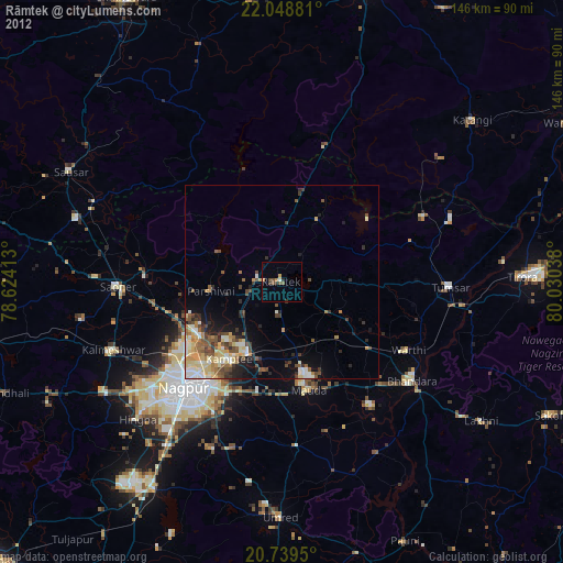
» Earth at Night: Flat Maps 2012, 2016