Bhandāra night lights from space
Night Light of Bhandāra (Maharashtra) from space (India) Src. Average luminocity for 10x10km area is 40.0456% and for 50x50km: 8.5119%.
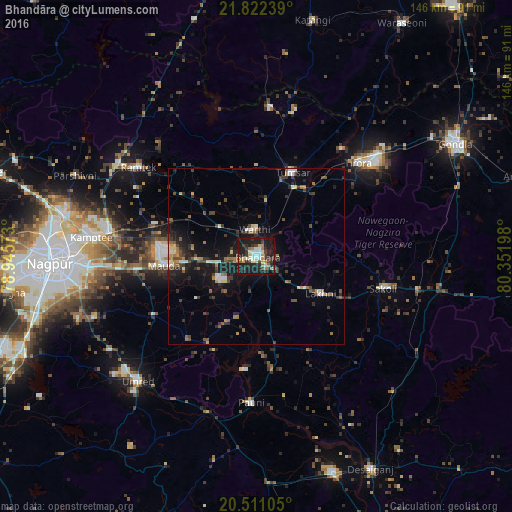
Analysis of Bhandāra night lights 2016
Square area 10x10 km:
 5.36%
5.36%90-99
8.13%80-89
3.97%70-79
3.77%60-69
6.15%50-59
2.38%40-49
5.75%30-39
11.11%20-29
14.29%10-19
37.5%0-9
1.59%Square area 50x50 km:
0.64%90-99
1.03%80-89
0.62%70-79
0.7%60-69
1.38%50-59
1.08%40-49
1.66%30-39
2.12%20-29
2.84%10-19
7.56%0-9
80.37%Clear (daylight) street map image can be seen on geolist.org.
Map coordinates:
21° 49' 20.6" North, 78° 56' 44.6" East
21° 10' 5.4" North, 79° 38' 55.9" East
20° 30' 39.8" North, 80° 21' 7.1" East
Some cities around Bhandāra sort by population:
• Kāmthi
47.1 km =29.3 mi,  276°
276°
• Tumsar
25.5 km =15.8 mi,  20°
20°
• Pawni
41.8 km =26 mi,  181°
181°
• Rāmtek
41.8 km =26 mi,  307°
307°
• Chicholi
33.9 km =21.1 mi,  9°
9°
• Kāndri
47.7 km =29.6 mi, 306°
• Mansar
47.3 km =29.4 mi,  302°
302°
• Hīrāpur Hamesha
45.3 km =28.1 mi, 18°
1276191 (p: 90,183)
Sources (retrieved 2019-11-25):
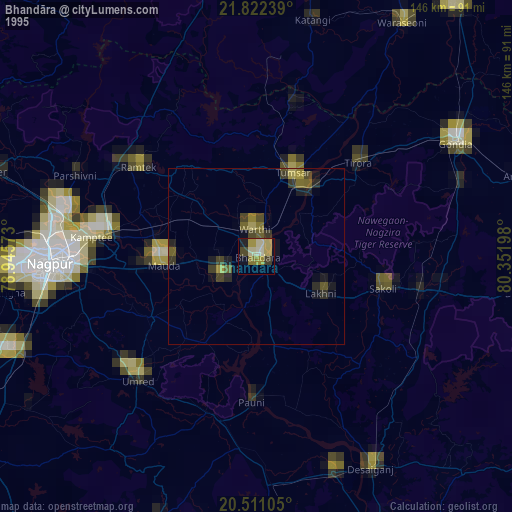
» NASA, Earths city lights 1995
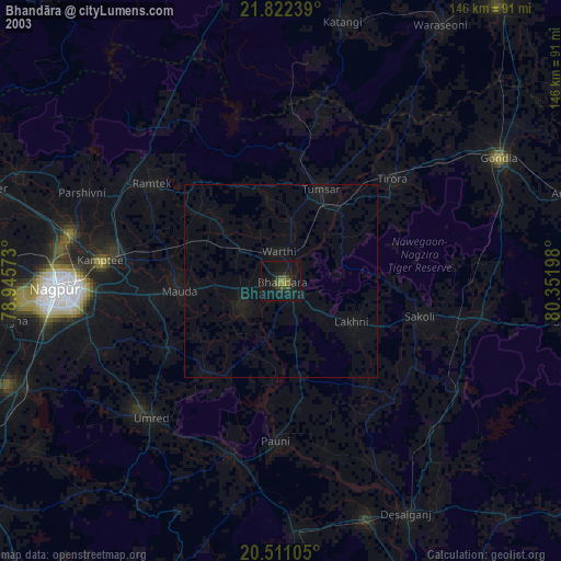
» NASA city lights 2003
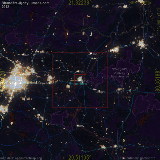
» Earth at Night: Flat Maps 2012, 2016