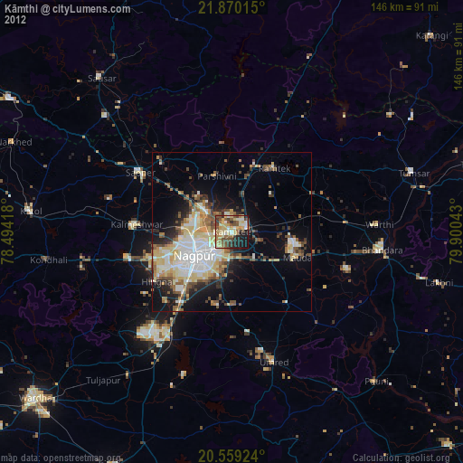
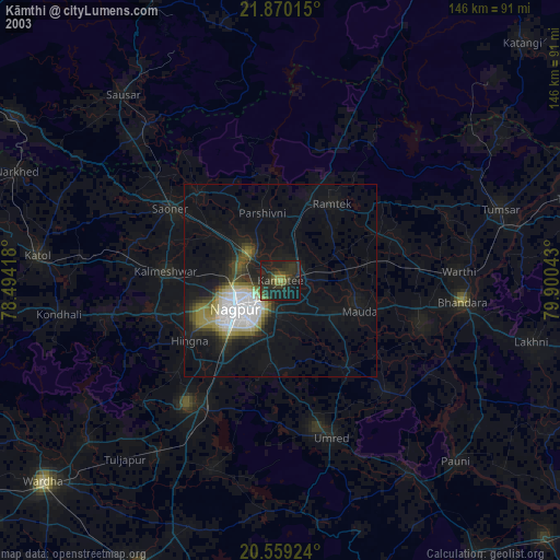
Kāmthi night lights from space
Night Light of Kāmthi (Maharashtra) from space (India) Src. Average luminocity for 10x10km area is 82.4504% and for 50x50km: 39.4586%.


Analysis of Kāmthi night lights 2016
Square area 10x10 km:
 19.05%
90-99
24.8%80-89
11.9%70-79
19.84%60-69
14.48%50-59
7.54%40-49
1.98%30-39
0.4%20-29
0%10-19
0%0-9
0%Square area 50x50 km:
10.96%90-99
7.82%80-89
3.53%70-79
4.19%60-69
4.68%50-59
5.39%40-49
5.65%30-39
5.22%20-29
7.12%10-19
13.38%0-9
32.06%Clear (daylight) street map image can be seen on geolist.org.
Map coordinates:
21° 52' 12.5" North, 78° 29' 39" East
21° 12' 58.1" North, 79° 11' 50.3" East
20° 33' 33.3" North, 79° 54' 1.5" East
Some cities around Kāmthi sort by population:
• Nagpur
14 km =8.7 mi,  236°
236°
• Saoner
34.2 km =21.3 mi,  303°
303°
• Rāmtek
24.1 km =15 mi,  34°
34°
• Kalmeshwar
28.8 km =17.9 mi,  273°
273°
• Khāpa
32 km =19.9 mi,  315°
315°
• Kāndri
24.1 km =15 mi,  19°
19°
• Mohpa
39.5 km =24.5 mi,  285°
285°
• Mansar
21.1 km =13.1 mi, 18°
1268205 (p: 86,213)
Sources (retrieved 2019-11-25):
» NASA, Earths city lights 1995
» NASA city lights 2003
» Earth at Night: Flat Maps 2012, 2016