Saoner night lights from space
Night Light of Saoner (Maharashtra) from space (India) Src. Average luminocity for 10x10km area is 30.1193% and for 50x50km: 16.3656%.
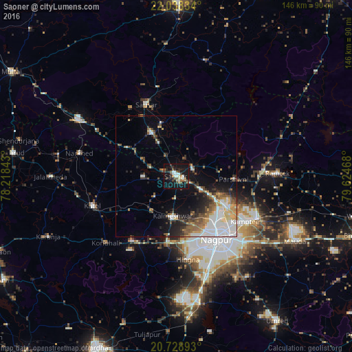
Analysis of Saoner night lights 2016
Square area 10x10 km:
 3.41%
3.41%90-99
6.44%80-89
2.27%70-79
1.33%60-69
3.6%50-59
5.87%40-49
3.22%30-39
5.3%20-29
6.44%10-19
46.21%0-9
15.91%Square area 50x50 km:
3.96%90-99
2.78%80-89
1.48%70-79
1.69%60-69
1.63%50-59
2.56%40-49
2%30-39
2.24%20-29
3.26%10-19
7.93%0-9
70.46%Clear (daylight) street map image can be seen on geolist.org.
Map coordinates:
22° 2' 18" North, 78° 13' 6.3" East
21° 23' 6.4" North, 78° 55' 17.6" East
20° 43' 44.1" North, 79° 37' 28.8" East
Some cities around Saoner sort by population:
• Nagpur
31.5 km =19.6 mi,  147°
147°
• Kāmthi
34.2 km =21.3 mi,  123°
123°
• Sausar
32.7 km =20.3 mi,  336°
336°
• Kalmeshwar
17 km =10.6 mi,  180°
180°
• Khāpa
7.5 km =4.7 mi,  56°
56°
• Mohgaon
34.2 km =21.3 mi,  325°
325°
• Lodhīkheda
22.9 km =14.2 mi, 343°
• Mohpa
12.6 km =7.8 mi,  228°
228°
1257307 (p: 29,638)
Sources (retrieved 2019-11-25):
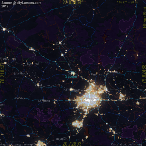
» Earth at Night: Flat Maps 2012, 2016