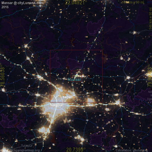
Mansar night lights from space
Night Light of Mansar (Maharashtra) from space (India) Src. Average luminocity for 10x10km area is 26.5379% and for 50x50km: 18.8307%.
Analysis of Mansar night lights 2016
Square area 10x10 km:
 1.33%
1.33%90-99
2.46%80-89
4.17%70-79
2.65%60-69
4.36%50-59
3.98%40-49
5.68%30-39
5.11%20-29
5.49%10-19
37.12%0-9
27.65%Square area 50x50 km:
3.73%90-99
3.39%80-89
1.99%70-79
2.43%60-69
2.3%50-59
2.66%40-49
2.9%30-39
2.78%20-29
4.15%10-19
8.63%0-9
65.05%Clear (daylight) street map image can be seen on geolist.org.
Map coordinates:
22° 2' 57.2" North, 78° 33' 37.4" East
21° 23' 45.7" North, 79° 15' 48.6" East
20° 44' 23.6" North, 79° 57' 59.9" East
Some cities around Mansar sort by population:
• Nagpur
33.4 km =20.8 mi,  213°
213°
• Kāmthi
21.1 km =13.1 mi,  198°
198°
• Saoner
35.4 km =22 mi,  268°
268°
• Rāmtek
6.6 km =4.1 mi,  90°
90°
• Kalmeshwar
40 km =24.9 mi,  242°
242°
• Khāpa
29.3 km =18.2 mi,  275°
275°
• Kāndri
3 km =1.9 mi,  26°
26°
• Mohpa
45.9 km =28.5 mi,  257°
257°
1263621 (p: 6,901)
Sources (retrieved 2019-11-25):
» Earth at Night: Flat Maps 2012, 2016