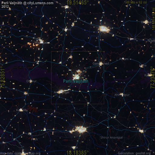
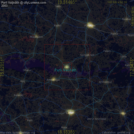
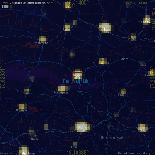
Parli Vaijnāth night lights from space
Night Light of Parli Vaijnāth (Maharashtra) from space (India) Src. Average luminocity for 10x10km area is 44.5519% and for 50x50km: 8.1918%.
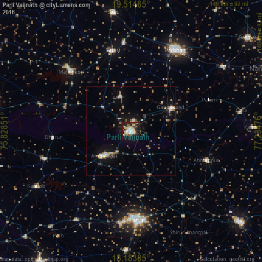
Analysis of Parli Vaijnāth night lights 2016
Square area 10x10 km:
 7.14%
7.14%90-99
11.04%80-89
4.76%70-79
5.63%60-69
2.38%50-59
8.01%40-49
5.84%30-39
6.06%20-29
11.47%10-19
34.2%0-9
3.46%Square area 50x50 km:
0.78%90-99
1.19%80-89
0.42%70-79
0.86%60-69
0.98%50-59
1.49%40-49
1.32%30-39
1.39%20-29
1.95%10-19
6.21%0-9
83.42%Clear (daylight) street map image can be seen on geolist.org.
Map coordinates:
19° 30' 52.7" North, 75° 49' 42.6" East
18° 51' 2.1" North, 76° 31' 53.9" East
18° 11' 1.9" North, 77° 14' 5.1" East
Some cities around Parli Vaijnāth sort by population:
• Latur
50.6 km =31.4 mi,  175°
175°
• Ambājogāi
20.1 km =12.5 mi,  229°
229°
• Mājalgaon
48.4 km =30.1 mi,  315°
315°
• Gangākher
26.5 km =16.5 mi,  59°
59°
• Ahmadpur
45.6 km =28.3 mi,  110°
110°
• Pāthri
46.5 km =28.9 mi,  347°
347°
• Mānwat
50.2 km =31.2 mi,  355°
355°
• Dhārūr
44.6 km =27.7 mi,  265°
265°
1260290 (p: 94,863)
Sources (retrieved 2019-11-25):
» NASA, Earths city lights 1995
» NASA city lights 2003
» Earth at Night: Flat Maps 2012, 2016