Ambājogāi night lights from space
Night Light of Ambājogāi (Maharashtra) from space (India) Src. Average luminocity for 10x10km area is 27.5124% and for 50x50km: 6.6734%.
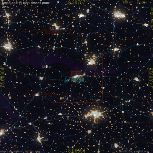
Analysis of Ambājogāi night lights 2016
Square area 10x10 km:
 5.37%
5.37%90-99
5.79%80-89
2.48%70-79
2.48%60-69
2.27%50-59
2.69%40-49
4.13%30-39
0.83%20-29
2.89%10-19
36.36%0-9
34.71%Square area 50x50 km:
0.58%90-99
0.8%80-89
0.45%70-79
0.68%60-69
0.71%50-59
1.51%40-49
1.2%30-39
1.1%20-29
1.88%10-19
5.22%0-9
85.88%Clear (daylight) street map image can be seen on geolist.org.
Map coordinates:
19° 23' 51.6" North, 75° 40' 58.9" East
18° 43' 59.2" North, 76° 23' 10.2" East
18° 3' 57.4" North, 77° 5' 21.4" East
Some cities around Ambājogāi sort by population:
• Latur
42 km =26.1 mi,  152°
152°
• Parli Vaijnāth
20.1 km =12.5 mi,  49°
49°
• Mājalgaon
51 km =31.7 mi,  338°
338°
• Gangākher
46.4 km =28.8 mi,  55°
55°
• Ahmadpur
58.1 km =36.1 mi,  92°
92°
• Pāthri
58.7 km =36.5 mi,  4°
4°
• Ausa
55.3 km =34.4 mi,  167°
167°
• Dhārūr
30.7 km =19.1 mi,  288°
288°
1278862 (p: 74,114)
Sources (retrieved 2019-11-25):
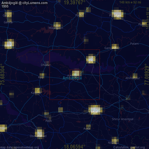
» NASA, Earths city lights 1995
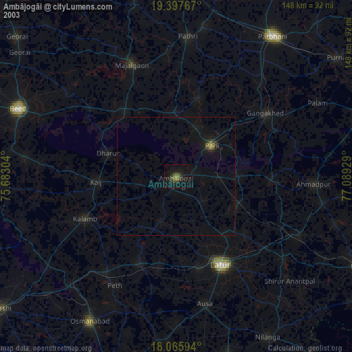
» NASA city lights 2003
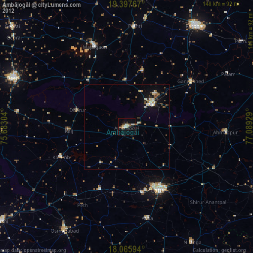
» Earth at Night: Flat Maps 2012, 2016