Gangākher night lights from space
Night Light of Gangākher (Maharashtra) from space (India) Src. Average luminocity for 10x10km area is 23.2273% and for 50x50km: 5.5804%.
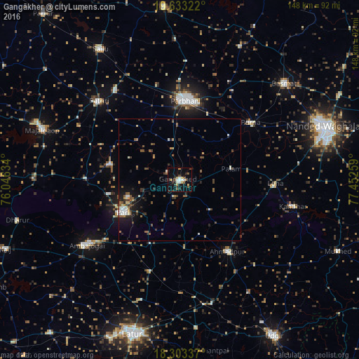
Analysis of Gangākher night lights 2016
Square area 10x10 km:
 2.6%
2.6%90-99
3.46%80-89
2.38%70-79
3.68%60-69
1.73%50-59
3.03%40-49
3.46%30-39
3.9%20-29
3.03%10-19
22.51%0-9
50.22%Square area 50x50 km:
0.4%90-99
0.77%80-89
0.36%70-79
0.52%60-69
0.65%50-59
1.29%40-49
1.07%30-39
1.21%20-29
1.29%10-19
3.28%0-9
89.17%Clear (daylight) street map image can be seen on geolist.org.
Map coordinates:
19° 37' 59.6" North, 76° 2' 46.8" East
18° 58' 10.6" North, 76° 44' 58.1" East
18° 18' 12.1" North, 77° 27' 9.3" East
Some cities around Gangākher sort by population:
• Parbhani
33.3 km =20.7 mi,  3°
3°
• Parli Vaijnāth
26.5 km =16.5 mi,  239°
239°
• Ambājogāi
46.4 km =28.8 mi, 235°
• Basmat
58.6 km =36.4 mi,  47°
47°
• Ahmadpur
35.3 km =21.9 mi,  145°
145°
• Pāthri
46.2 km =28.7 mi,  314°
314°
• Pūrna
37.4 km =23.2 mi, 50°
• Mānwat
45.4 km =28.2 mi,  324°
324°
1271688 (p: 46,366)
Sources (retrieved 2019-11-25):
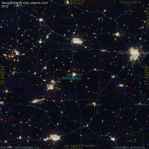
» Earth at Night: Flat Maps 2012, 2016