Latur night lights from space
Night Light of Latur (Maharashtra) from space (India) Src. Average luminocity for 10x10km area is 66.2169% and for 50x50km: 9.6339%.
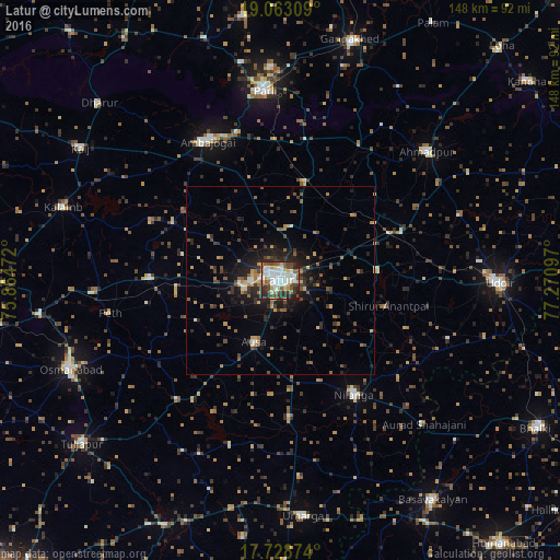
Analysis of Latur night lights 2016
Square area 10x10 km:
 17.36%
90-99
19.42%80-89
7.02%70-79
5.58%60-69
4.75%50-59
7.23%40-49
12.19%30-39
10.33%20-29
14.88%10-19
1.24%0-9
0%Square area 50x50 km:
0.82%90-99
1.1%80-89
0.81%70-79
1.19%60-69
1.33%50-59
1.67%40-49
2.09%30-39
1.9%20-29
3.02%10-19
5.42%0-9
80.64%Clear (daylight) street map image can be seen on geolist.org.
Map coordinates:
19° 3' 47.1" North, 75° 51' 53" East
18° 23' 50" North, 76° 34' 4.2" East
17° 43' 43.5" North, 77° 16' 15.5" East
Some cities around Latur sort by population:
• Udgīr
58 km =36 mi,  90°
90°
• Parli Vaijnāth
50.6 km =31.4 mi,  355°
355°
• Osmanabad
60.8 km =37.8 mi,  246°
246°
• Ambājogāi
42 km =26.1 mi,  332°
332°
• Ahmadpur
51.9 km =32.2 mi,  48°
48°
• Nilanga
36.8 km =22.9 mi,  147°
147°
• Ausa
18.2 km =11.3 mi,  203°
203°
• Umarga
62.4 km =38.8 mi,  174°
174°
1265014 (p: 348,967)
Sources (retrieved 2019-11-25):
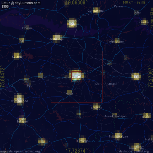
» NASA, Earths city lights 1995
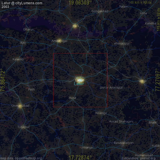
» NASA city lights 2003
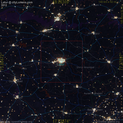
» Earth at Night: Flat Maps 2012, 2016