Pāthri night lights from space
Night Light of Pāthri (Maharashtra) from space (India) Src. Average luminocity for 10x10km area is 22.9026% and for 50x50km: 6.4103%.
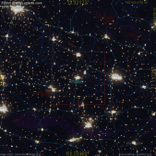
Analysis of Pāthri night lights 2016
Square area 10x10 km:
 3.68%
3.68%90-99
3.25%80-89
1.73%70-79
2.6%60-69
1.73%50-59
2.6%40-49
3.03%30-39
5.41%20-29
1.95%10-19
28.35%0-9
45.67%Square area 50x50 km:
0.45%90-99
0.62%80-89
0.57%70-79
0.72%60-69
1.07%50-59
1.13%40-49
0.86%30-39
1.61%20-29
1.09%10-19
3.04%0-9
88.84%Clear (daylight) street map image can be seen on geolist.org.
Map coordinates:
19° 55' 16.4" North, 75° 43' 51.6" East
19° 15' 31.7" North, 76° 26' 2.8" East
18° 35' 37.3" North, 77° 8' 14.1" East
Some cities around Pāthri sort by population:
• Parbhani
35.4 km =22 mi,  88°
88°
• Parli Vaijnāth
46.5 km =28.9 mi,  167°
167°
• Mājalgaon
26.1 km =16.2 mi,  245°
245°
• Gangākher
46.2 km =28.7 mi,  134°
134°
• Selu
21.8 km =13.5 mi,  1°
1°
• Partūr
44.3 km =27.5 mi,  328°
328°
• Mānwat
8.1 km =5 mi,  54°
54°
• Ashti
25.5 km =15.8 mi,  300°
300°
1260120 (p: 37,648)
Sources (retrieved 2019-11-25):
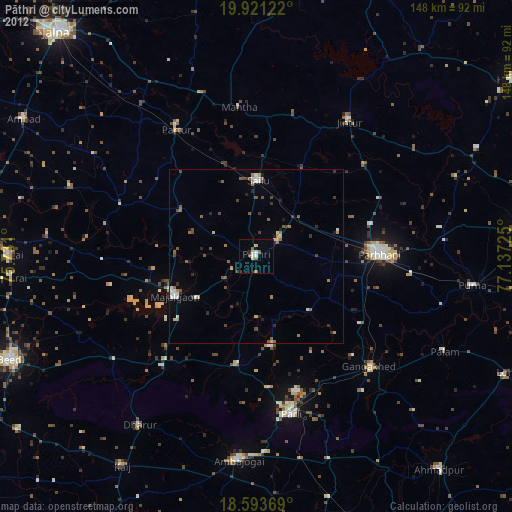
» Earth at Night: Flat Maps 2012, 2016