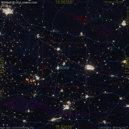
Mānwat night lights from space
Night Light of Mānwat (Maharashtra) from space (India) Src. Average luminocity for 10x10km area is 13.9069% and for 50x50km: 5.8934%.
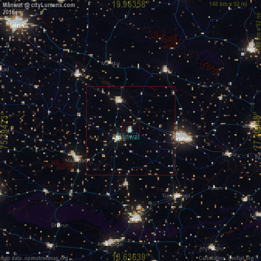
Analysis of Mānwat night lights 2016
Square area 10x10 km:
 1.73%
1.73%90-99
2.6%80-89
1.08%70-79
0.65%60-69
0%50-59
1.73%40-49
1.73%30-39
2.6%20-29
3.46%10-19
10.17%0-9
74.24%Square area 50x50 km:
0.31%90-99
0.45%80-89
0.64%70-79
0.7%60-69
0.77%50-59
1.13%40-49
0.8%30-39
1.63%20-29
1.18%10-19
3.02%0-9
89.37%Clear (daylight) street map image can be seen on geolist.org.
Map coordinates:
19° 57' 48.9" North, 75° 47' 39.2" East
19° 18' 4.8" North, 76° 29' 50.5" East
18° 38' 11" North, 77° 12' 1.7" East
Some cities around Mānwat sort by population:
• Parbhani
28.9 km =18 mi,  97°
97°
• Mājalgaon
34.2 km =21.3 mi,  242°
242°
• Gangākher
45.4 km =28.2 mi,  144°
144°
• Selu
18.1 km =11.2 mi,  340°
340°
• Jintūr
39.9 km =24.8 mi,  29°
29°
• Pāthri
8.1 km =5 mi,  234°
234°
• Partūr
44.4 km =27.6 mi,  318°
318°
• Ashti
29.8 km =18.5 mi,  286°
286°
1263591 (p: 30,624)
Sources (retrieved 2019-11-25):
» Earth at Night: Flat Maps 2012, 2016