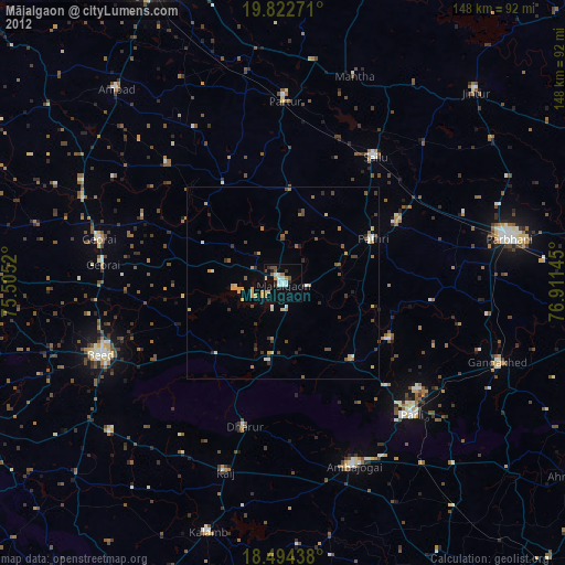
Mājalgaon night lights from space
Night Light of Mājalgaon (Maharashtra) from space (India) Src. Average luminocity for 10x10km area is 28.2208% and for 50x50km: 6.3568%.
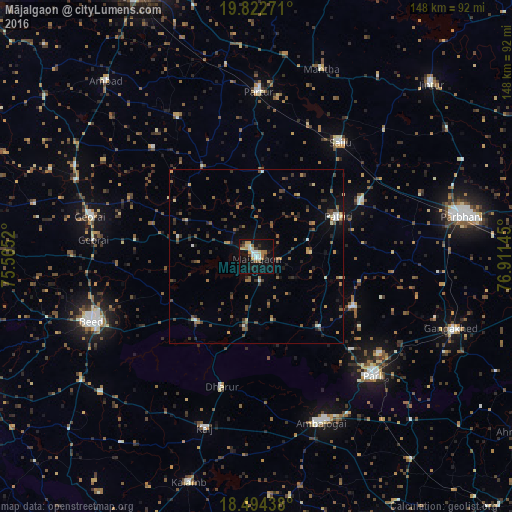
Analysis of Mājalgaon night lights 2016
Square area 10x10 km:
 4.55%
4.55%90-99
4.33%80-89
2.38%70-79
5.19%60-69
4.33%50-59
2.16%40-49
1.73%30-39
2.6%20-29
4.11%10-19
40.04%0-9
28.57%Square area 50x50 km:
0.39%90-99
0.52%80-89
0.49%70-79
0.62%60-69
1.07%50-59
1.14%40-49
1.46%30-39
1.58%20-29
1.36%10-19
3.29%0-9
88.08%Clear (daylight) street map image can be seen on geolist.org.
Map coordinates:
19° 49' 21.8" North, 75° 30' 18.7" East
19° 9' 35.6" North, 76° 12' 30" East
18° 29' 39.8" North, 76° 54' 41.2" East
Some cities around Mājalgaon sort by population:
• Parli Vaijnāth
48.4 km =30.1 mi,  135°
135°
• Selu
40.9 km =25.4 mi,  36°
36°
• Pāthri
26.1 km =16.2 mi,  65°
65°
• Partūr
48.9 km =30.4 mi,  0°
0°
• Mānwat
34.2 km =21.3 mi,  62°
62°
• Gevrai
49.5 km =30.8 mi,  283°
283°
• Dhārūr
39.2 km =24.4 mi,  195°
195°
• Ashti
24.2 km =15 mi, 4°
1263684 (p: 47,845)
Sources (retrieved 2019-11-25):
» Earth at Night: Flat Maps 2012, 2016