Dīsa night lights from space
Night Light of Dīsa (Gujarat) from space (India) Src. Average luminocity for 10x10km area is 30.1913% and for 50x50km: 4.3826%.
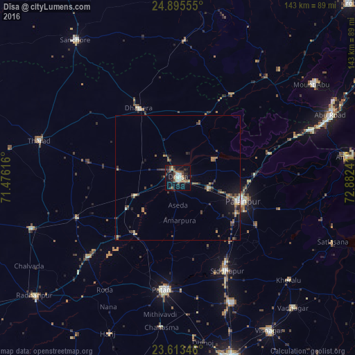
Analysis of Dīsa night lights 2016
Square area 10x10 km:
 2.27%
2.27%90-99
6.44%80-89
2.65%70-79
2.46%60-69
6.25%50-59
3.22%40-49
6.44%30-39
4.17%20-29
6.63%10-19
36.17%0-9
23.3%Square area 50x50 km:
0.13%90-99
0.53%80-89
0.42%70-79
0.38%60-69
0.8%50-59
0.78%40-49
1.08%30-39
0.86%20-29
0.89%10-19
3.33%0-9
90.8%Clear (daylight) street map image can be seen on geolist.org.
Map coordinates:
24° 53' 44" North, 71° 28' 34.2" East
24° 15' 22" North, 72° 10' 45.4" East
23° 36' 48.5" North, 72° 52' 56.7" East
Some cities around Dīsa sort by population:
• Pālanpur
27.9 km =17.3 mi,  109°
109°
• Pātan
45.4 km =28.2 mi,  186°
186°
• Unjha
54.7 km =34 mi,  156°
156°
• Siddhapur
42.4 km =26.3 mi,  152°
152°
• Un
58.4 km =36.3 mi,  225°
225°
• Tharād
58.2 km =36.2 mi,  285°
285°
• Dhanera
32.3 km =20.1 mi,  330°
330°
• Kānodar
28.6 km =17.8 mi,  130°
130°
1272513 (p: 92,224)
Sources (retrieved 2019-11-25):
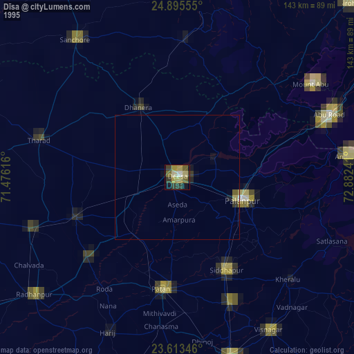
» NASA, Earths city lights 1995
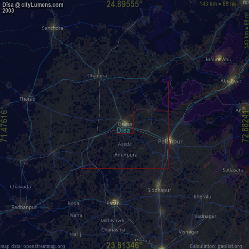
» NASA city lights 2003
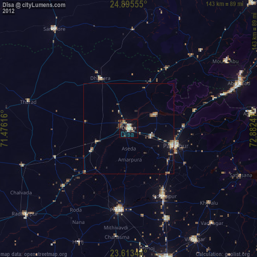
» Earth at Night: Flat Maps 2012, 2016