Narharpur night lights from space
Night Light of Narharpur (Chhattisgarh) from space (India) Src. Average luminocity for 10x10km area is 1.1174% and for 50x50km: 2.2127%.
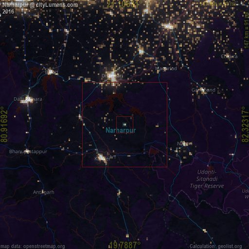
Analysis of Narharpur night lights 2016
Square area 10x10 km:
 0%
0%90-99
0%80-89
0%70-79
0.76%60-69
0%50-59
0%40-49
0%30-39
0.76%20-29
0.76%10-19
0%0-9
97.73%Square area 50x50 km:
0.11%90-99
0.11%80-89
0.07%70-79
0.22%60-69
0.19%50-59
0.51%40-49
0.73%30-39
0.64%20-29
0.76%10-19
1.59%0-9
95.08%Clear (daylight) street map image can be seen on geolist.org.
Map coordinates:
21° 6' 22.7" North, 80° 55' 0.9" East
20° 26' 56.1" North, 81° 37' 12.1" East
19° 47' 19.3" North, 82° 19' 23.4" East
Some cities around Narharpur sort by population:
• Bhilai
86.8 km =53.9 mi,  346°
346°
• Dhamtari
29.7 km =18.5 mi, 345°
• Kānker
23.8 km =14.8 mi,  214°
214°
• Balod
53.3 km =33.1 mi,  306°
306°
• Kurud
43.8 km =27.2 mi,  14°
14°
• Gariāband
50.4 km =31.3 mi,  66°
66°
• Pātan
65.6 km =40.8 mi, 352°
• Bhatgaon
78.4 km =48.7 mi, 6°
1261798 (p: 6,500)
Sources (retrieved 2019-11-25):
» Earth at Night: Flat Maps 2012, 2016