Dhamtari night lights from space
Night Light of Dhamtari (Chhattisgarh) from space (India) Src. Average luminocity for 10x10km area is 44.2973% and for 50x50km: 6.9787%.
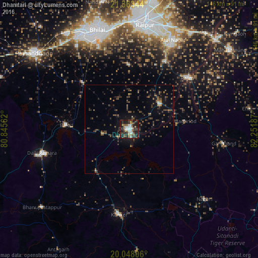
Analysis of Dhamtari night lights 2016
Square area 10x10 km:
 7.95%
7.95%90-99
8.33%80-89
2.84%70-79
3.22%60-69
3.6%50-59
11.17%40-49
7.39%30-39
10.61%20-29
17.99%10-19
26.33%0-9
0.57%Square area 50x50 km:
0.4%90-99
0.46%80-89
0.23%70-79
0.46%60-69
0.82%50-59
1.83%40-49
1.85%30-39
2.2%20-29
2.39%10-19
5.37%0-9
83.99%Clear (daylight) street map image can be seen on geolist.org.
Map coordinates:
21° 21' 48.4" North, 80° 50' 44.2" East
20° 42' 25.8" North, 81° 32' 55.5" East
20° 2' 53" North, 82° 15' 6.7" East
Some cities around Dhamtari sort by population:
• Bhilai
57.2 km =35.5 mi,  347°
347°
• Kānker
48.8 km =30.3 mi,  186°
186°
• Balod
35.8 km =22.2 mi,  274°
274°
• Kurud
22.7 km =14.1 mi,  52°
52°
• Gariāband
54 km =33.6 mi,  98°
98°
• Pātan
36.3 km =22.6 mi,  357°
357°
• Bhatgaon
51.7 km =32.1 mi,  17°
17°
• Narharpur
29.7 km =18.5 mi,  165°
165°
1272997 (p: 87,151)
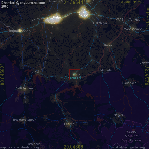
Sources (retrieved 2019-11-25):
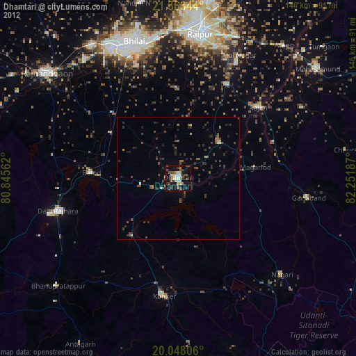
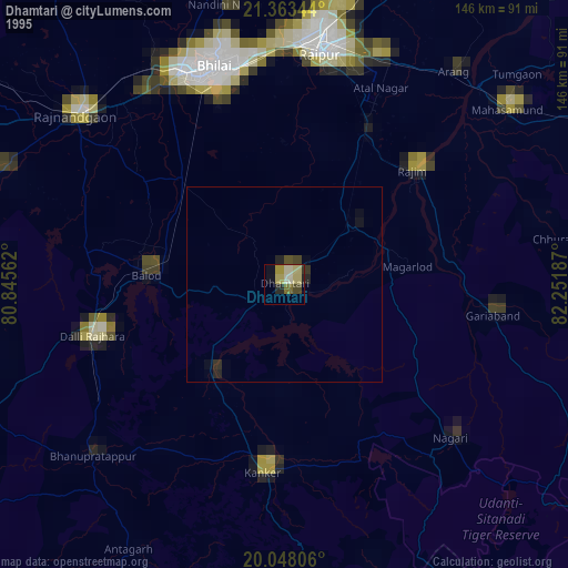
» NASA, Earths city lights 1995
» NASA city lights 2003
» Earth at Night: Flat Maps 2012, 2016