Balod night lights from space
Night Light of Balod (Chhattisgarh) from space (India) Src. Average luminocity for 10x10km area is 11.6572% and for 50x50km: 3.3371%.
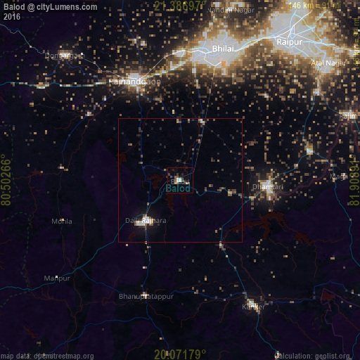
Analysis of Balod night lights 2016
Square area 10x10 km:
 1.7%
1.7%90-99
1.33%80-89
0.76%70-79
0%60-69
0.76%50-59
3.79%40-49
2.84%30-39
2.46%20-29
3.79%10-19
1.33%0-9
81.25%Square area 50x50 km:
0.33%90-99
0.38%80-89
0.12%70-79
0.14%60-69
0.34%50-59
0.71%40-49
0.77%30-39
0.81%20-29
1.37%10-19
1.69%0-9
93.33%Clear (daylight) street map image can be seen on geolist.org.
Map coordinates:
21° 23' 13.1" North, 80° 30' 9.6" East
20° 43' 50.9" North, 81° 12' 20.8" East
20° 4' 18.4" North, 81° 54' 32.1" East
Some cities around Balod sort by population:
• Durg
51.7 km =32.1 mi,  8°
8°
• Rāj-Nāndgaon
44.7 km =27.8 mi,  335°
335°
• Dhamtari
35.8 km =22.2 mi,  94°
94°
• Bhānpurī
49.2 km =30.6 mi,  324°
324°
• Dongargaon
45.6 km =28.3 mi,  305°
305°
• Pātan
47.8 km =29.7 mi,  45°
45°
• Ambāgarh Chauki
48.1 km =29.9 mi,  276°
276°
• Narharpur
53.3 km =33.1 mi,  126°
126°
1277535 (p: 22,275)
Sources (retrieved 2019-11-25):
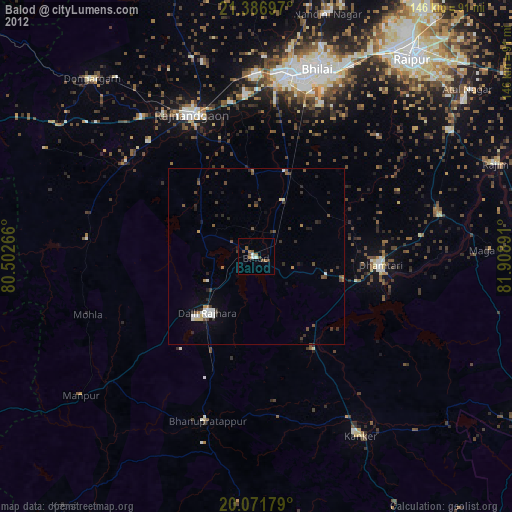
» Earth at Night: Flat Maps 2012, 2016