Kānker night lights from space
Night Light of Kānker (Chhattisgarh) from space (India) Src. Average luminocity for 10x10km area is 17.1091% and for 50x50km: 1.6008%.
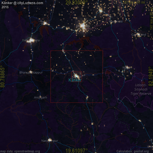
Analysis of Kānker night lights 2016
Square area 10x10 km:
 2.18%
2.18%90-99
1.79%80-89
1.79%70-79
1.79%60-69
2.38%50-59
1.59%40-49
3.97%30-39
2.98%20-29
4.56%10-19
4.56%0-9
72.42%Square area 50x50 km:
0.1%90-99
0.09%80-89
0.07%70-79
0.17%60-69
0.18%50-59
0.2%40-49
0.59%30-39
0.57%20-29
0.57%10-19
0.67%0-9
96.8%Clear (daylight) street map image can be seen on geolist.org.
Map coordinates:
20° 55' 48.3" North, 80° 47' 19.1" East
20° 16' 18.9" North, 81° 29' 30.4" East
19° 36' 39.5" North, 82° 11' 41.6" East
Some cities around Kānker sort by population:
• Dhamtari
48.8 km =30.3 mi,  6°
6°
• Kondagaon
77.8 km =48.3 mi,  166°
166°
• Balod
59.1 km =36.7 mi,  329°
329°
• Kurud
66.6 km =41.4 mi,  21°
21°
• Gariāband
71.7 km =44.6 mi,  55°
55°
• Pātan
84.8 km =52.7 mi,  2°
2°
• Ambāgarh Chauki
95.8 km =59.5 mi,  305°
305°
• Narharpur
23.8 km =14.8 mi,  34°
34°
1268031 (p: 25,984)
Sources (retrieved 2019-11-25):
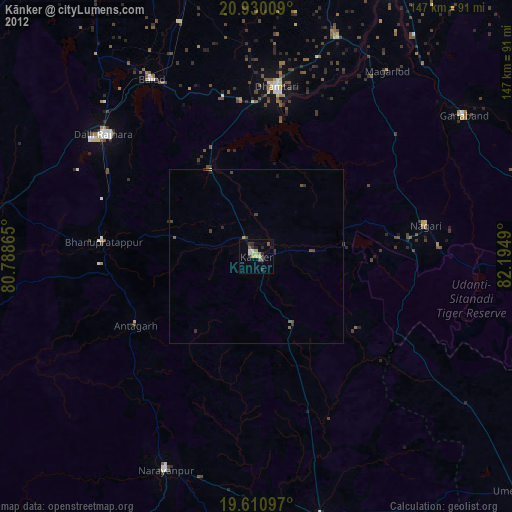
» Earth at Night: Flat Maps 2012, 2016