Bhilai night lights from space
Night Light of Bhilai (Chhattisgarh) from space (India) Src. Average luminocity for 10x10km area is 90.6468% and for 50x50km: 43.6162%.
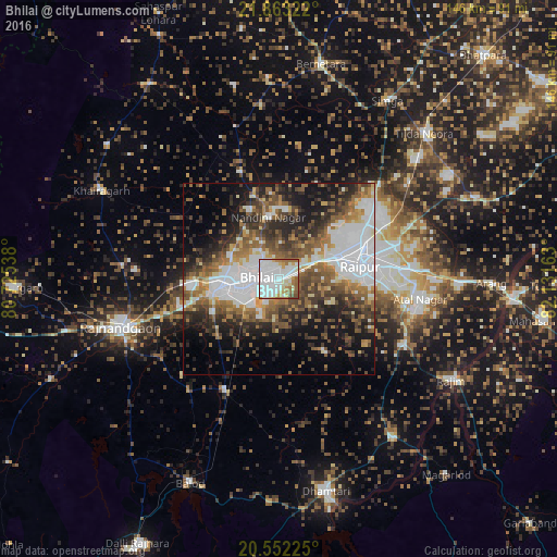
Analysis of Bhilai night lights 2016
Square area 10x10 km:
 48.61%
90-99
24.01%80-89
7.74%70-79
4.76%60-69
7.54%50-59
5.16%40-49
2.18%30-39
0%20-29
0%10-19
0%0-9
0%Square area 50x50 km:
12.53%90-99
6.93%80-89
3.2%70-79
3.61%60-69
6.27%50-59
7.63%40-49
7.89%30-39
7.02%20-29
9.33%10-19
12.79%0-9
22.79%Clear (daylight) street map image can be seen on geolist.org.
Map coordinates:
21° 51' 47.6" North, 80° 43' 31.4" East
21° 12' 33.1" North, 81° 25' 42.6" East
20° 33' 8.1" North, 82° 7' 53.9" East
Some cities around Bhilai sort by population:
• Raipur
21.4 km =13.3 mi,  82°
82°
• Durg
15.9 km =9.9 mi,  262°
262°
• Rāj-Nāndgaon
43.3 km =26.9 mi,  253°
253°
• Kumhāri
11.2 km =7 mi,  55°
55°
• Khairāgarh
52 km =32.3 mi,  296°
296°
• Kurud
52 km =32.3 mi,  144°
144°
• Pātan
22.4 km =13.9 mi,  150°
150°
• Bhatgaon
28.9 km =18 mi,  103°
103°
1275971 (p: 625,138)
Sources (retrieved 2019-11-25):
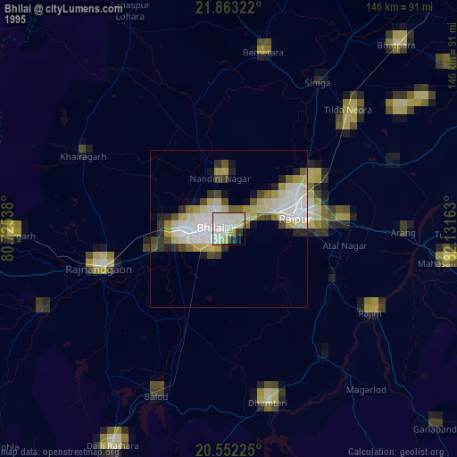
» NASA, Earths city lights 1995
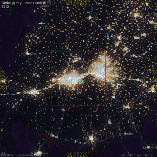
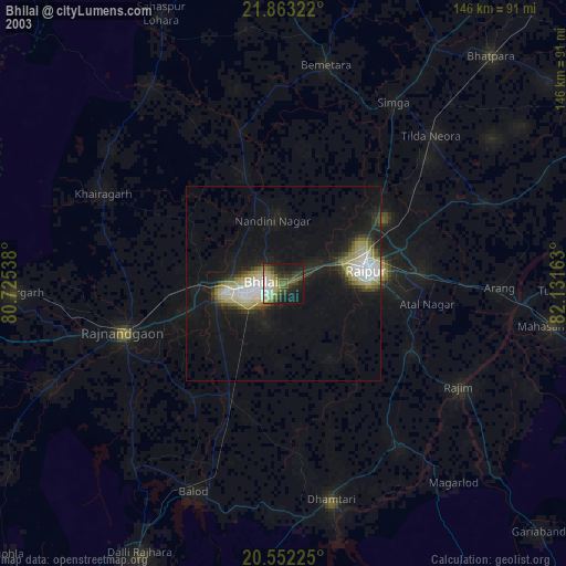
» NASA city lights 2003
» Earth at Night: Flat Maps 2012, 2016