Koynanagar night lights from space
Night Light of Koynanagar (Maharashtra) from space (India) Src. Average luminocity for 10x10km area is 1.0702% and for 50x50km: 0.882%.
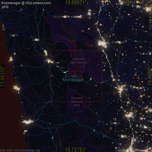
Analysis of Koynanagar night lights 2016
Square area 10x10 km:
 0%
0%90-99
0%80-89
0%70-79
0%60-69
0.83%50-59
0.83%40-49
0%30-39
0%20-29
0%10-19
0%0-9
98.35%Square area 50x50 km:
0%90-99
0.1%80-89
0.06%70-79
0.13%60-69
0.1%50-59
0.18%40-49
0.24%30-39
0.22%20-29
0.14%10-19
0.36%0-9
98.47%Clear (daylight) street map image can be seen on geolist.org.
Map coordinates:
18° 4' 11" North, 73° 3' 48.8" East
17° 24' 0" North, 73° 46' 0" East
16° 43' 40.2" North, 74° 28' 11.3" East
Some cities around Koynanagar sort by population:
• Satara
39.8 km =24.7 mi,  37°
37°
• Karād
45.7 km =28.4 mi,  105°
105°
• Chiplūn
31.1 km =19.3 mi,  298°
298°
• Malkapur
46 km =28.6 mi, 109°
• Rahimatpur
50.6 km =31.4 mi,  65°
65°
• Mahābaleshwar
42.8 km =26.6 mi,  294°
294°
• Pātan
14.6 km =9.1 mi,  100°
100°
• Mākhjan
31.8 km =19.8 mi,  242°
242°
1265881 (p: 28,091)
Sources (retrieved 2019-11-25):
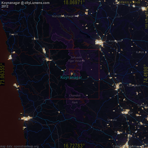
» Earth at Night: Flat Maps 2012, 2016